


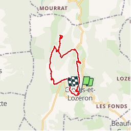

11 km | 18,1 km-effort


Usuario


Aplicación GPS de excursión GRATIS
 SityTrail
IGN / Institutos geográficos
SityTrail World
El mundo es suyo
Ruta Senderismo de 12,9 km a descubrir en Auvergne-Rhône-Alpes, Drôme, Gigors-et-Lozeron. Esta ruta ha sido propuesta por ajd26.
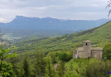
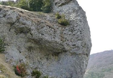
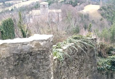
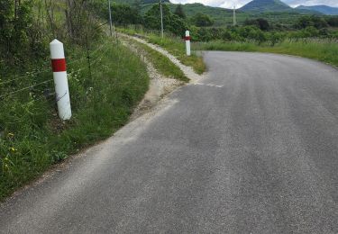
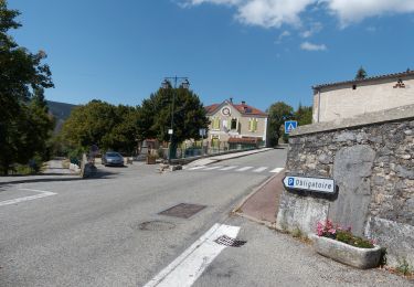
Départ de Gigors, montée aux ruines du château, aller retour pour essayer de voir la grotte par un sentier de crête et retour par la ferme de Boussiere suivre le balisage pour ne pas passer trop près de la ferme
Senderismo
Senderismo

Senderismo

Senderismo

Senderismo
Senderismo

Senderismo
Senderismo
Senderismo