


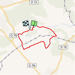

6,9 km | 8,5 km-effort

Sport - Santé - Sénior


Aplicación GPS de excursión GRATIS
 SityTrail
IGN / Institutos geográficos
SityTrail World
El mundo es suyo
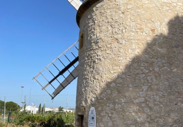
Ruta Senderismo de 5,7 km a descubrir en Provenza-Alpes-Costa Azul, Bocas del Ródano, Lambesc. Esta ruta ha sido propuesta por Retraite sportive lambescaine provencale.
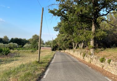
balisage bleu
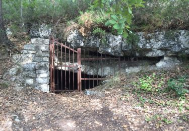
Senderismo

Senderismo
Senderismo
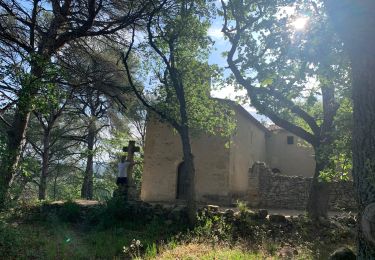
Senderismo
Senderismo
Senderismo
Senderismo
Senderismo
Senderismo