


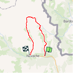

15,5 km | 28 km-effort

La Clarée un must pour randonner alors à nous d'en profiter ....


Aplicación GPS de excursión GRATIS
 SityTrail
IGN / Institutos geográficos
SityTrail World
El mundo es suyo
Ruta Senderismo de 21 km a descubrir en Provenza-Alpes-Costa Azul, Altos Alpes, Névache. Esta ruta ha sido propuesta por Névache Aout 2020 REV 83.
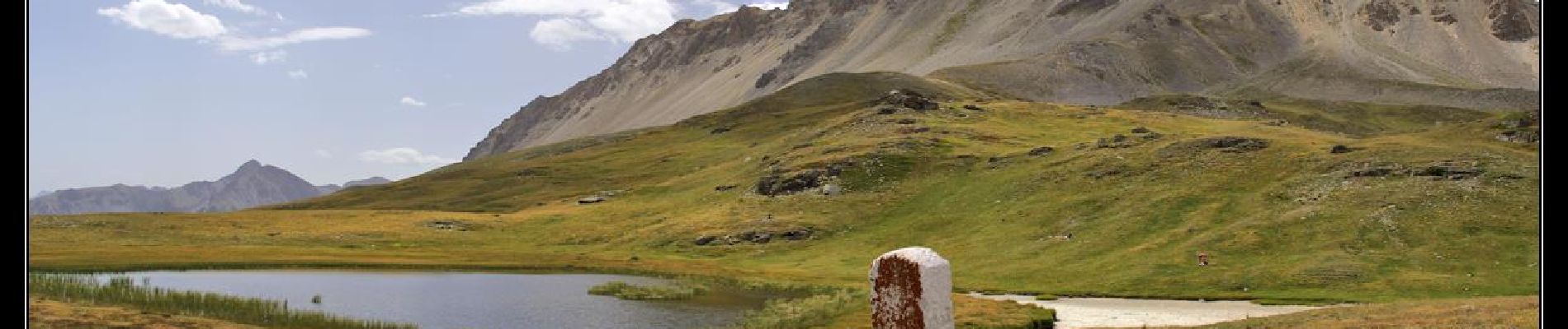
Roubion Col des Thures Vallée Etroite (Italie) Maison des Chamois Col du Vallon Névache
 Col des Thures Vallée Etroite Col du Vallon - Photo 1")

Senderismo

Senderismo

Senderismo

Senderismo

Senderismo

Senderismo

Senderismo
Senderismo
Senderismo