


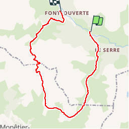

10 km | 18 km-effort

La Clarée un must pour randonner alors à nous d'en profiter ....


Aplicación GPS de excursión GRATIS
 SityTrail
IGN / Institutos geográficos
SityTrail World
El mundo es suyo
Ruta Senderismo de 15,4 km a descubrir en Provenza-Alpes-Costa Azul, Altos Alpes, Névache. Esta ruta ha sido propuesta por Névache Aout 2020 REV 83.
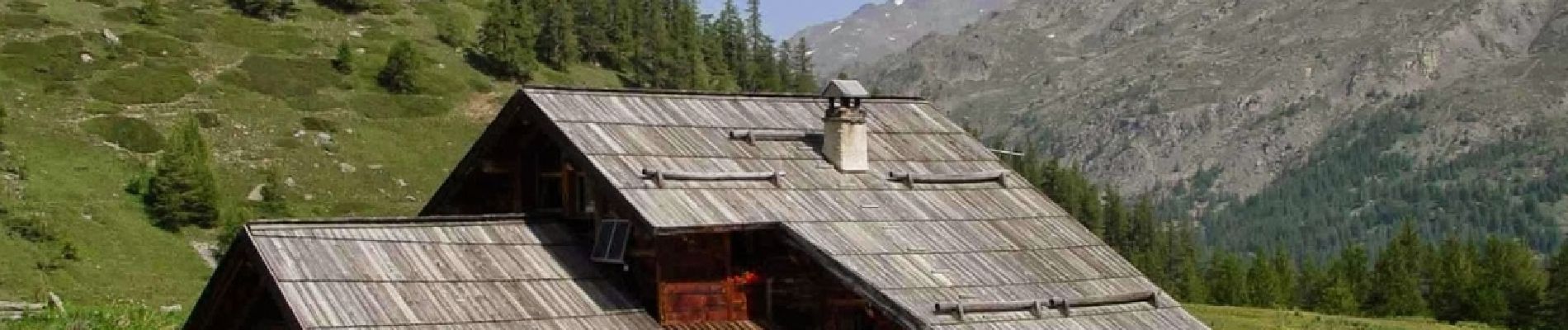
Pont de Souchère Refuge de Buffère Col de Buffère Combe la la Moulette Col Roche Noire Refuge Chardonnet


Senderismo

Senderismo

Senderismo

Senderismo

Senderismo

Senderismo

Senderismo

Senderismo

Senderismo