


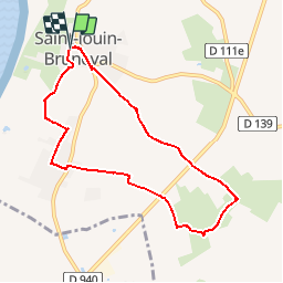

15,4 km | 18,3 km-effort


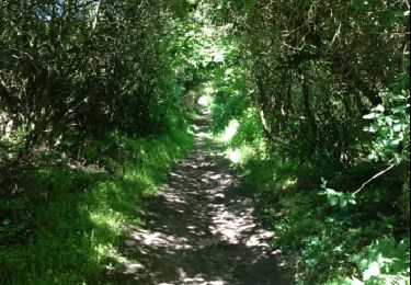
ensemble sur les chemins


Aplicación GPS de excursión GRATIS
 SityTrail
IGN / Institutos geográficos
SityTrail World
El mundo es suyo
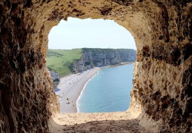
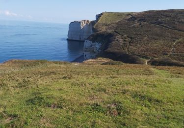
Ruta A pie de 7,4 km a descubrir en Normandía, Sena-Marítimo, Saint-Jouin-Bruneval. Esta ruta ha sido propuesta por AACLARANDO.
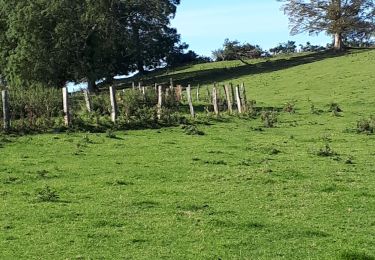
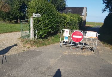
petites routes et quelques chemins herbeux
Senderismo
Senderismo

Senderismo
A pie
Senderismo
Senderismo
Senderismo
Senderismo
Senderismo