


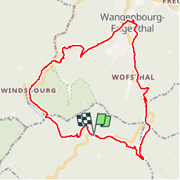

31 km | 42 km-effort


Usuario


Aplicación GPS de excursión GRATIS
 SityTrail
IGN / Institutos geográficos
SityTrail World
El mundo es suyo
Ruta Senderismo de 20 km a descubrir en Gran Este, Bajo-Rin, Oberhaslach. Esta ruta ha sido propuesta por LUTZMarc.
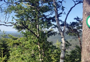
La rando est principalement sur des sentier en forêt. Très agréable aà marcher. Ça monte bien par moment. Possibilité de manger à l'auberge du château à Wangenbourg km 12.

Paseo ecuestre

Senderismo

Bici de montaña
Paseo ecuestre

Paseo ecuestre
Senderismo

Senderismo
Senderismo
Senderismo