


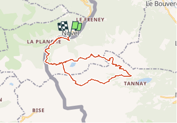

6,3 km | 9,9 km-effort


Usuario


Aplicación GPS de excursión GRATIS
 SityTrail
IGN / Institutos geográficos
SityTrail World
El mundo es suyo
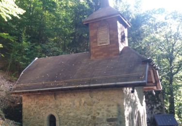
Ruta Senderismo de 18,3 km a descubrir en Vallés, Monthey, Saint-Gingolph. Esta ruta ha sido propuesta por labrune.
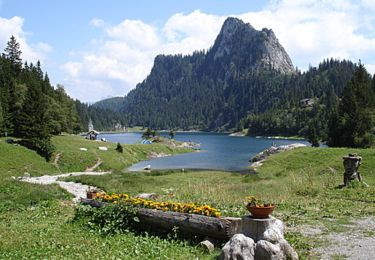
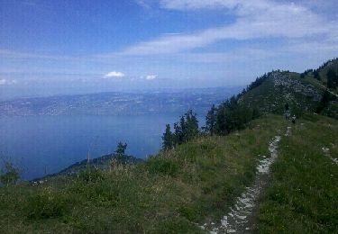
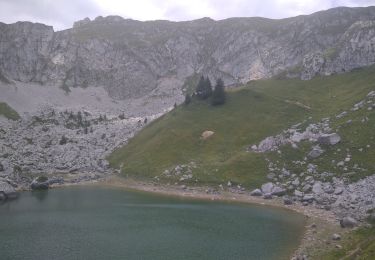
6 h. de marche réelle (GPS). Du point 1744 m. au col des Crosses,( ) hautes herbes, terrain gras par endroit, escarpé. Le faire de préférence en montant. Ballade magnifique avec de superbes vues sur le lac Léman.

A pie

Senderismo

Senderismo

Senderismo
Bici de montaña
Senderismo
Bici de montaña
Senderismo
Senderismo