


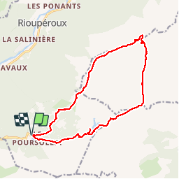

10,3 km | 16,8 km-effort

Usuario


Aplicación GPS de excursión GRATIS
 SityTrail
IGN / Institutos geográficos
SityTrail World
El mundo es suyo
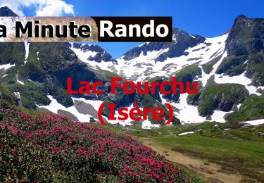
Ruta Senderismo de 16,4 km a descubrir en Auvergne-Rhône-Alpes, Isère, Livet-et-Gavet. Esta ruta ha sido propuesta por Emelle.
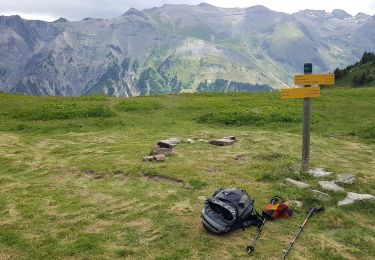
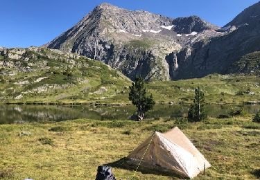
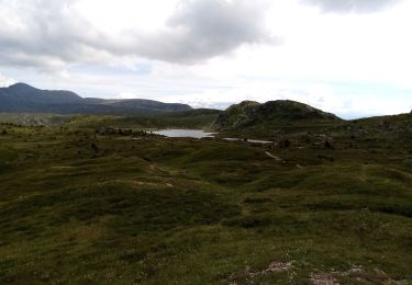
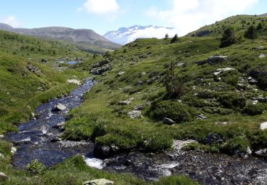
Beau circuit sauvage sans difficulté technique hormis la recherche de l'itinéraire car une bonne partie hors sentier


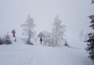
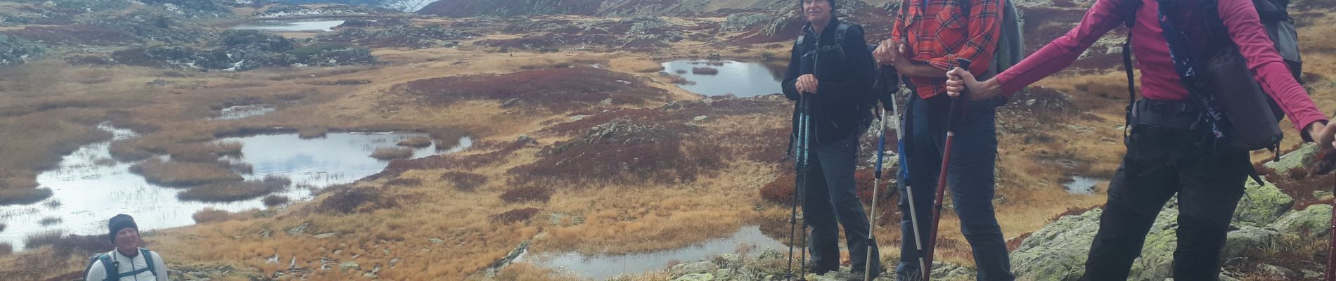
Raquetas de nieve
Senderismo

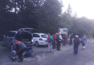
Senderismo
Senderismo
A pie
A pie
Senderismo
Senderismo

Senderismo