


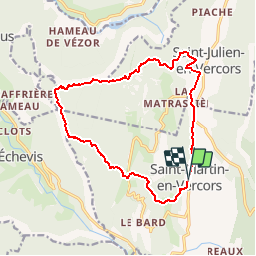

16,5 km | 34 km-effort


Usuario


Aplicación GPS de excursión GRATIS
 SityTrail
IGN / Institutos geográficos
SityTrail World
El mundo es suyo
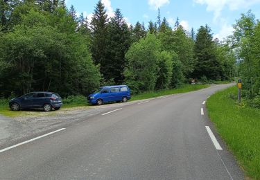
Ruta Bici de montaña de 15,5 km a descubrir en Auvergne-Rhône-Alpes, Drôme, Saint-Martin-en-Vercors. Esta ruta ha sido propuesta por vercorse.
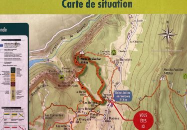
Départ St Martin en Vercors (place de l'Ours) passer par les Menuisiers, Sendron, Pas de l'Allier, petite Cournouze, les Combettes, Ponson puis retour à St Martin. Attention quelques passages techniques...

Senderismo

Senderismo

Senderismo

Otra actividad

sport
Senderismo
Senderismo
Senderismo
Senderismo