


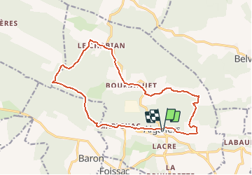


13,8 km | 16,7 km-effort


Usuario GUIDE


Aplicación GPS de excursión GRATIS
 SityTrail
IGN / Institutos geográficos
SityTrail World
El mundo es suyo
Ruta Senderismo de 17,8 km a descubrir en Occitania, Gard, Aigaliers. Esta ruta ha sido propuesta por randotines.
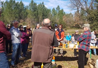
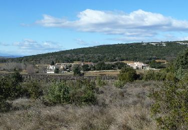
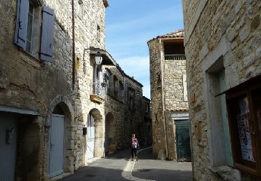
Belle rando de 18 km au départ d'Aigaliers ( Gard ) avec passage par la combe de Pousselargues, le village de Bourdiguet,le hameau du Chabian puis descente vers la combe de Vallongue et le centre de recherche expérimentale d'architecture écologique..retour par le fond du vallon à la fraiche vers sous Dève et les Ponts de Tardre, Marignac et retour sur Aigaliers par la D267 puis par un sentier passant derrière St Martin.

Senderismo
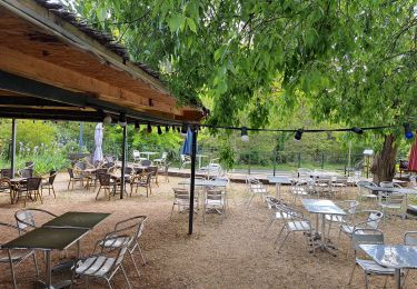
Senderismo
Senderismo
Senderismo
Senderismo

Otra actividad
Senderismo
Senderismo