


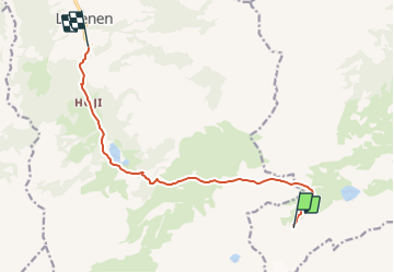

8,2 km | 14,6 km-effort


Usuario


Aplicación GPS de excursión GRATIS
 SityTrail
IGN / Institutos geográficos
SityTrail World
El mundo es suyo
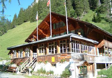
Ruta Otra actividad de 9,8 km a descubrir en Berna, Verwaltungskreis Obersimmental-Saanen, Lenk. Esta ruta ha sido propuesta por U106659.
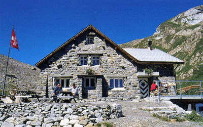
Vom Chilchfluepass über das steile Geröllfeld auf den Sattel und ein langer Abstieg nach Gimmelwald

A pie
Senderismo

A pie
Marcha nórdica

Senderismo
Senderismo
Senderismo
Senderismo