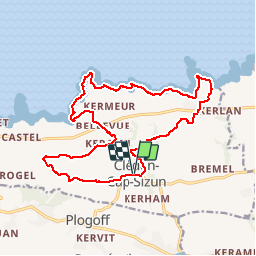

9,5 km | 12,2 km-effort

Usuario


Aplicación GPS de excursión GRATIS
 SityTrail
IGN / Institutos geográficos
SityTrail World
El mundo es suyo
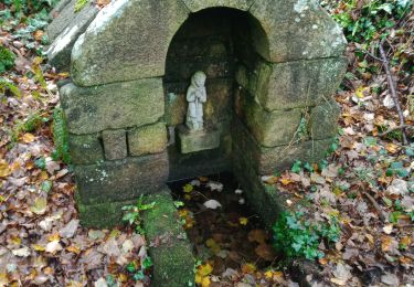
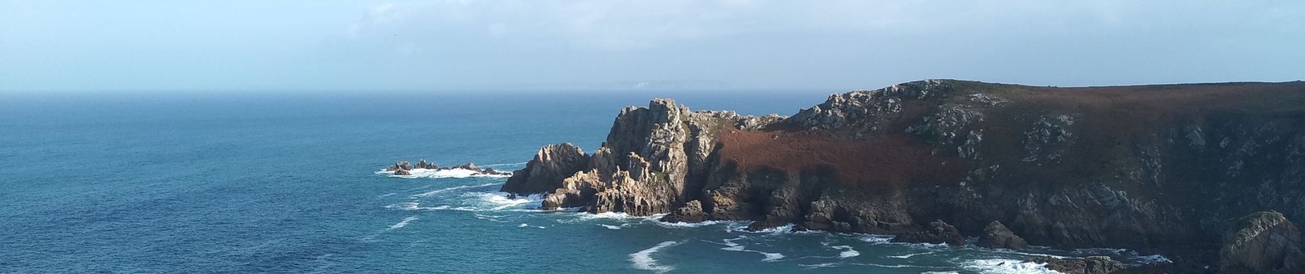
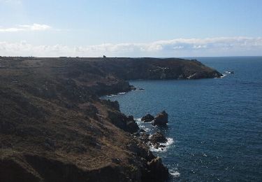
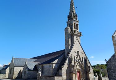
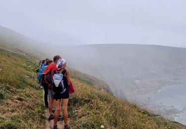
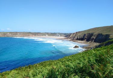
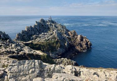
Ruta Senderismo de 18,3 km a descubrir en Bretaña, Finisterre, Cléden-Cap-Sizun. Esta ruta ha sido propuesta por RonanDAGORN.
Randonnée rallongée par rapport à celle figurant dans le topo guide de la FFRP "Le pays bigouden, le pays de Douarnenez et le Cap Sizun à pied"


Otra actividad
Senderismo
Senderismo
Senderismo

Senderismo
Senderismo

Senderismo
Senderismo