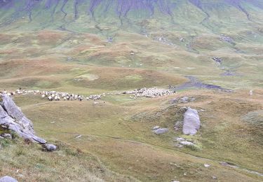
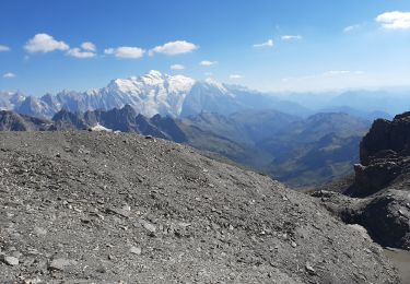
Excursión Senderismo Sixt-Fer-à-Cheval - YHH144 Le Lignon - Brèche du Dérochoir - Photo

YHH144 Le Lignon - Brèche du Dérochoir

 yveshumbert
yveshumbert

Usuario

© OpenStreetMap contributors
Longitud
Longitud
7,4 km
Altitud máxima
Altitud máxima
2177 m
Desnivel positivo
Desnivel positivo
955 m
Km-Effort
Km-Effort  
17 km
Altitud mínima
Altitud mínima
1195 m
Desnivel negativo
Desnivel negativo
16 m
Boucle
Boucle
No
Fecha de creación :
2015-08-24 00:00:00.0
Última modificación :
2015-08-24 00:00:00.0

(0 Opinión)

Senderismo
Senderismo
3h58
Dificultad : Difícil

Escanee este código QR para abrir la excursión en la aplicación SityTrail

Aplicación GPS de excursión GRATIS

Logo SityTrail SityTrail

IGN / Institutos geográficos

Descargar SityTrail en App Store Descargar SityTrail en Google Play

Logo SityTrail SityTrail World

El mundo es suyo

Descargar SityTrail en App Store Descargar SityTrail en Google Play Descargar SityTrail en Huawei AppGallery

A propósito

Ruta Senderismo de 7,4 km a descubrir en Auvergne-Rhône-Alpes, Alta Saboya, Sixt-Fer-à-Cheval. Esta ruta ha sido propuesta por yveshumbert.

Descripción

Rando d' une journée en boucle au Départ du parking Le Lignon.
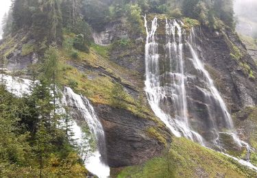
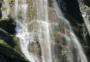
Une première montée avec quelques cascades vous amménera jusqu' aux chalets de Sales, où vous pourrez vous restaurer. Puis le chemin est assez plat pouir un moment avant de recommencer à monter pour vous rendre à la Brèche du Dérochoir

Perfil altimétrico

Puntos de interés

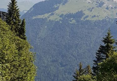
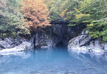
Punto de interés Sixt-Fer-à-Cheval - Cascade de la Pleureuse - Photo
yveshumbert
SIXT-FER-À-CHEVAL 
Punto de interés Sixt-Fer-à-Cheval - Cascade de la Sauffaz - Photo
yveshumbert
SIXT-FER-À-CHEVAL 
Punto de interés Sixt-Fer-à-Cheval - Cascade de Sales - Photo
yveshumbert
SIXT-FER-À-CHEVAL 
Punto de interés Sixt-Fer-à-Cheval - Refuge de Sales - Photo
yveshumbert
SIXT-FER-À-CHEVAL 
Punto de interés Sixt-Fer-à-Cheval - Chalet de Sales - Photo
yveshumbert
SIXT-FER-À-CHEVAL 
Punto de interés Sixt-Fer-à-Cheval - Le Lignon - Photo
yveshumbert
SIXT-FER-À-CHEVAL 

Localización

País:
France
Región :
Auvergne-Rhône-Alpes
Departamento/provincia :
Alta Saboya
Municipio :
Sixt-Fer-à-Cheval
Localidad:
Unknown
Salida:(Dec)
Salida:(UTM)
327250 ; 5098804 (32T) N.

Excursiones cerca

Excursión Senderismo Sixt-Fer-à-Cheval - Lac d'Anterne - Photo
Senderismo
i20

Senderismo

Medio
(1)
Sixt-Fer-à-Cheval, Auvergne-Rhône-Alpes, Alta Saboya, France
19,8 km | 37 km-effort
5h 9min
Excursión Senderismo Samoëns - Lac de Gers - Photo
Senderismo
swp648

Senderismo

Fácil
(1)
Samoëns, Auvergne-Rhône-Alpes, Alta Saboya, France
6,7 km | 11,7 km-effort
2h 39min
No
Excursión Senderismo Sixt-Fer-à-Cheval - Gorges des Tines - Gers - Samoens  - Photo
Senderismo
GUIDE
Kargil

Senderismo

Difícil
(1)
Sixt-Fer-à-Cheval, Auvergne-Rhône-Alpes, Alta Saboya, France
18,6 km | 33 km-effort
5h 52min
Excursión Senderismo Sixt-Fer-à-Cheval - 2020-08-15 Marche Refuge Grenairon Le Mont Buet Les Fonts Salvagny - Photo
Senderismo
GUIDE
holtzv

Senderismo

Muy fácil
Sixt-Fer-à-Cheval, Auvergne-Rhône-Alpes, Alta Saboya, France
20 km | 40 km-effort
12h 24min
No
Excursión Senderismo Sixt-Fer-à-Cheval - Le tour des Fiz : J3 - Photo
Senderismo
Greg813

Senderismo

Medio
Sixt-Fer-à-Cheval, Auvergne-Rhône-Alpes, Alta Saboya, France
10,8 km | 21 km-effort
3h 24min
No
Excursión Senderismo Passy - Le tour des Fiz : J2 - Photo
Senderismo
Greg813

Senderismo

Difícil
Passy, Auvergne-Rhône-Alpes, Alta Saboya, France
15,7 km | 31 km-effort
4h 41min
No
Excursión Senderismo Sixt-Fer-à-Cheval - J9GR5Nord - Photo
Senderismo
annehc

Senderismo

Muy difícil
Sixt-Fer-à-Cheval, Auvergne-Rhône-Alpes, Alta Saboya, France
16,8 km | 29 km-effort
6h 36min
No
Excursión Senderismo Sixt-Fer-à-Cheval - SIXT PASSY RESERVE: CHALETS DE SALES 2 - Photo
Senderismo
djeepee74

Senderismo

Medio
Sixt-Fer-à-Cheval, Auvergne-Rhône-Alpes, Alta Saboya, France
11,5 km | 21 km-effort
4h 50min
Excursión Senderismo Sixt-Fer-à-Cheval - SIXT PASSY RESERVE: LE BUET MONTEE VIA GRENAIRON - RETOUR PAR LES FONDS - Photo
Senderismo
djeepee74

Senderismo

Muy difícil
Sixt-Fer-à-Cheval, Auvergne-Rhône-Alpes, Alta Saboya, France
26 km | 56 km-effort
8h 42min


Cerrar
Mis suscripciones