


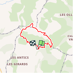

16,2 km | 28 km-effort

Usuario


Aplicación GPS de excursión GRATIS
 SityTrail
IGN / Institutos geográficos
SityTrail World
El mundo es suyo
Ruta Senderismo de 10,9 km a descubrir en Provenza-Alpes-Costa Azul, Altos Alpes, Chorges. Esta ruta ha sido propuesta por Dervalmarc.
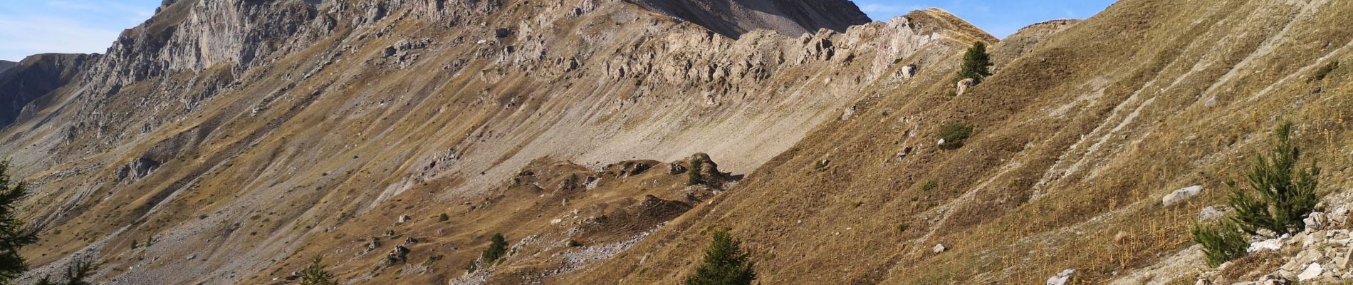
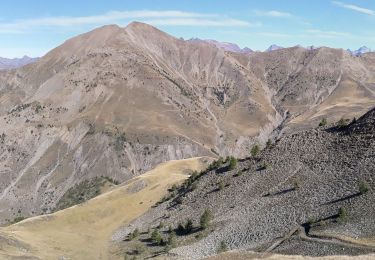
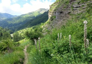
Rando très sportive. Nombreux passages aérien en crêtes.
Descente de la Pousterlle attention au vide.
Passage gazeux.


Senderismo

Senderismo

Senderismo

Senderismo

Senderismo
Senderismo

Senderismo

Senderismo
Senderismo