


14,3 km | 16,6 km-effort

Usuario GUIDE


Aplicación GPS de excursión GRATIS
 SityTrail
IGN / Institutos geográficos
SityTrail World
El mundo es suyo
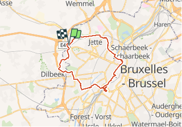
Ruta Senderismo de 25 km a descubrir en Région de Bruxelles-Capitale - Brussels Hoofdstedelijk Gewest, Desconocido, Berchem-Sainte-Agathe - Sint-Agatha-Berchem. Esta ruta ha sido propuesta por rvapeldo.
Parcours réalisé lors du dimanche sans auto du 22 septembre, mais le parcours est praticable toute l’année.
Cela tournicote autour de la gare du Midi en raison d’une visite au projet à Bruxelles X (ancien centre de tri, centre temporaire associatif). Le dimanche c’est jour de marché.
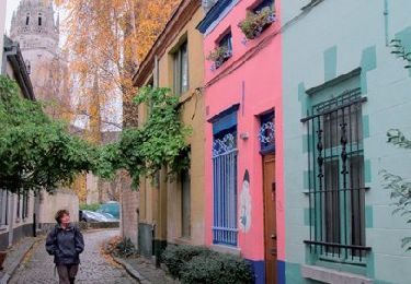
La traversée du centre passe par l’avenue de Stalingrad, la rue du Midi, la Grand Place, puis la Bourse et le piétonnier.
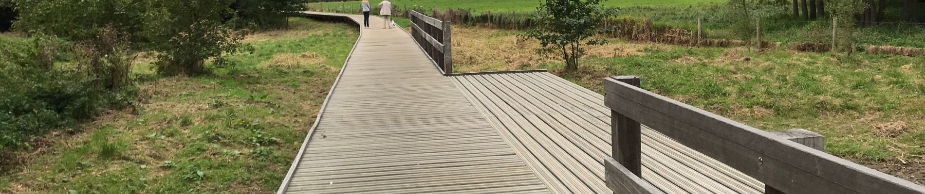
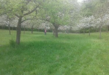
Traversée de la gare du Nord, puis du canal pour arriver dans la coulée verte derrière Tour et Taxi,à découvrir, sortie à hauteur du métro Pannenhuis. A hauteur du cimetière de Jette, on passe de l’autre côté des rails (nord).J’ai pris au plus court pour rejoindre Berchem, en prenant les rues et les sentiers près du chemin de fer, mais il y a moyen de traverser le parc roi Baudouin, cela ajoute 1 ou 2 km.


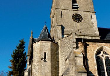
Senderismo

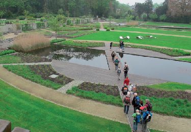
Senderismo
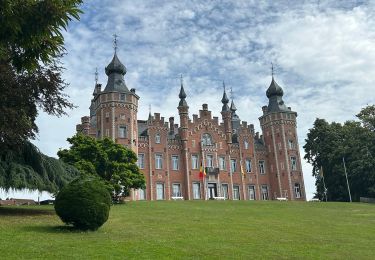
Senderismo
Senderismo

Senderismo
Senderismo
Senderismo
Senderismo
Bicicleta