


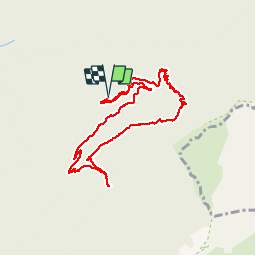


13,7 km | 23 km-effort

Usuario


Aplicación GPS de excursión GRATIS
 SityTrail
IGN / Institutos geográficos
SityTrail World
El mundo es suyo
Ruta Senderismo de 9,5 km a descubrir en Auvergne-Rhône-Alpes, Drôme, Romeyer. Esta ruta ha sido propuesta por GILOU440.
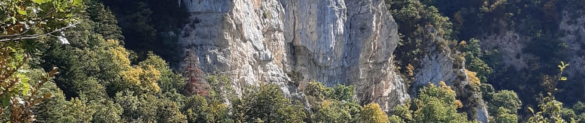
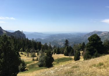
belle montée dans le bois sympa.
passage dangereux après la source et très beau et bon après


26 fotos en total. Haga clic en una foto para mostrarlas todas en la galería.

Senderismo

Senderismo

Senderismo

Senderismo
Senderismo

Senderismo

Senderismo
Senderismo

Raquetas de nieve
GILOU440 le passage critique est avant la fontaine de Vire Sac