


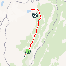


9,8 km | 14,3 km-effort

Usuario


Aplicación GPS de excursión GRATIS
 SityTrail
IGN / Institutos geográficos
SityTrail World
El mundo es suyo
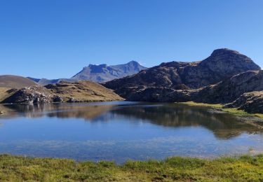
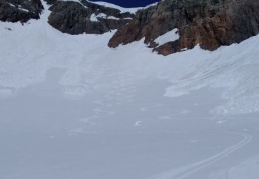
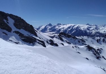
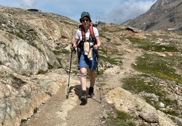
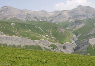
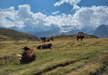
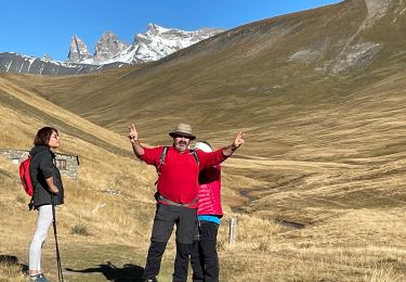
Ruta Senderismo de 9,8 km a descubrir en Auvergne-Rhône-Alpes, Isère, Clavans-en-Haut-Oisans. Esta ruta ha sido propuesta por ezorzet.
Magnifique randonnée mais difficile


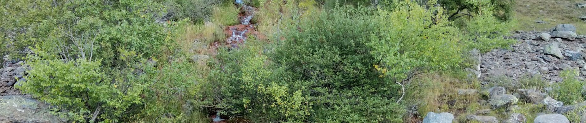
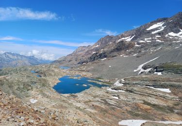
25 fotos en total. Haga clic en una foto para mostrarlas todas en la galería.
Senderismo
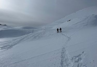
Raquetas de nieve
Senderismo
Esquí de fondo
Esquí de fondo

sport
Senderismo
Senderismo
Senderismo