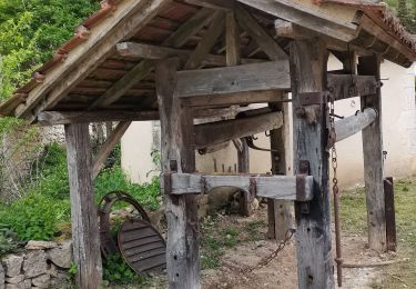
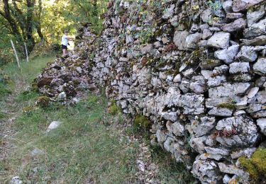
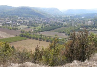
11,7 km | 16,3 km-effort
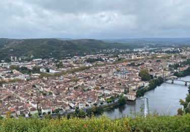
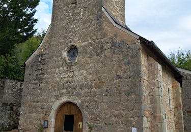
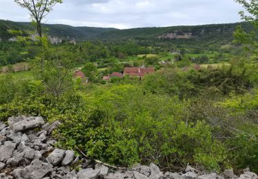
70_10_Ferme de la Planquette_Limogne en Quercy
jeanlucien
Usuario
Longitud
34 km
Altitud máxima
402 m
Desnivel positivo
697 m
Km-Effort
43 km
Altitud mínima
142 m
Desnivel negativo
697 m
Boucle
No
Fecha de creación :
2019-09-06 16:22:25.103
Última modificación :
2019-09-06 16:23:55.787
8h00
Dificultad : Muy difícil
Aplicación GPS de excursión GRATIS
A propósito
Ruta Senderismo de 34 km a descubrir en Occitania, Lot, Béduer. Esta ruta ha sido propuesta por jeanlucien.
Localización
País:
France
Región :
Occitania
Departamento/provincia :
Lot
Municipio :
Béduer
Localidad:
Unknown
Salida:(Dec)
Salida:(UTM)
416698 ; 4936014 (31T) N.
Comentarios
Excursiones cerca
La vallée du Célé
Senderismo
Muy difícil
Faycelles,
Occitania,
Lot,
France
111 km | 153 km-effort
35h 59min
No
Étape Faycelle St Sulpice
Senderismo
Difícil
Faycelles,
Occitania,
Lot,
France
28 km | 37 km-effort
7h 46min
No
Cirques de bons - Château de Larropue Toirac
Senderismo
Difícil
(1)
Larroque-Toirac,
Occitania,
Lot,
France
9,2 km | 13,1 km-effort
2h 32min
Sí
Le causse par lacoste
Senderismo
Muy fácil
(1)
Corn,
Occitania,
Lot,
France
8,4 km | 11,7 km-effort
2h 38min
Sí
Sainte Eulalie Crayssac
Senderismo
Muy fácil
Corn,
Occitania,
Lot,
France
11,7 km | 16,6 km-effort
3h 31min
Sí
Corn Mas de Léret
Senderismo
Muy fácil
Corn,
Occitania,
Lot,
France
4,1 km | 5,8 km-effort
1h 43min
Sí
Mon Compostelle sixième étape
Senderismo
Difícil
Faycelles,
Occitania,
Lot,
France
43 km | 55 km-effort
9h 40min
No
La Cazelle-Camburat-Mouret-La Cazelle
Caballo
Fácil
(1)
Lissac-et-Mouret,
Occitania,
Lot,
France
13,9 km | 17,5 km-effort
2h 43min
Sí