


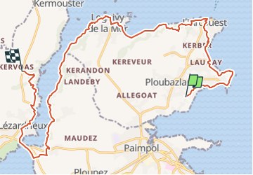

11,9 km | 13,8 km-effort


Usuario


Aplicación GPS de excursión GRATIS
 SityTrail
IGN / Institutos geográficos
SityTrail World
El mundo es suyo
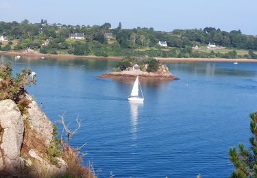
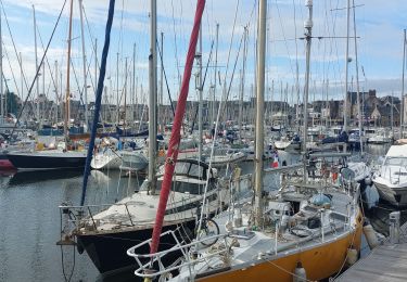
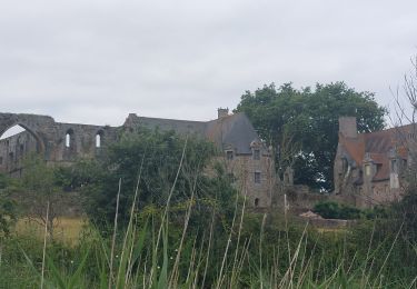
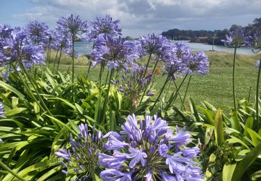
Ruta Senderismo de 23 km a descubrir en Bretaña, Côtes-d'Armor, Ploubazlanec. Esta ruta ha sido propuesta por JMCMoreau.
Du calvaire de PLoubazlanec (la Croix Cornic) jusqu'à la Crêperie du Moulin à Mer à "Traou Bihan" Hameau de Lézardrieux. adresse 1 Le Moulin À Mer, 22740 Lézardrieux

Senderismo
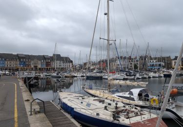
Senderismo
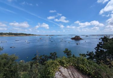
Senderismo
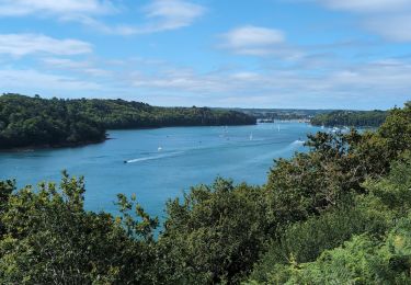
Senderismo
Senderismo
Senderismo
Senderismo

Senderismo
Senderismo
Top