


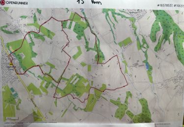
17,1 km | 28 km-effort


Usuario


Aplicación GPS de excursión GRATIS
 SityTrail
IGN / Institutos geográficos
SityTrail World
El mundo es suyo
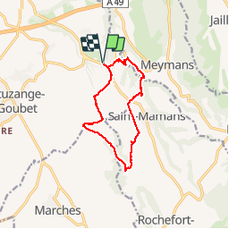
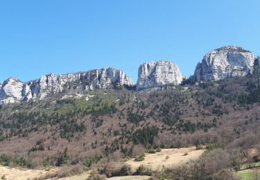
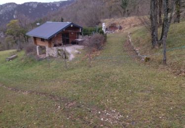
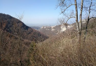
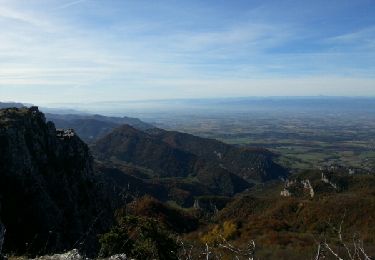
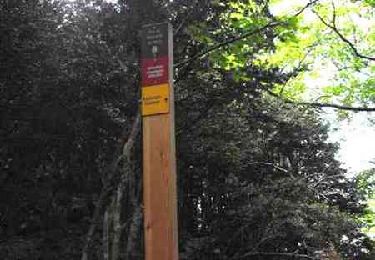
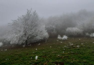
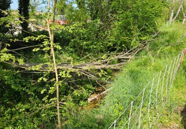
Ruta Senderismo de 11,5 km a descubrir en Auvergne-Rhône-Alpes, Drôme, Chatuzange-le-Goubet. Esta ruta ha sido propuesta por meillon.
Promenade dans les champs et vers les rus de Fleurs et la Beaure...très agréable mais en été emmener de l eau fraiche


Senderismo
Senderismo

Senderismo
Senderismo
Senderismo
Senderismo
Senderismo

sport
Senderismo