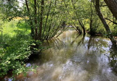
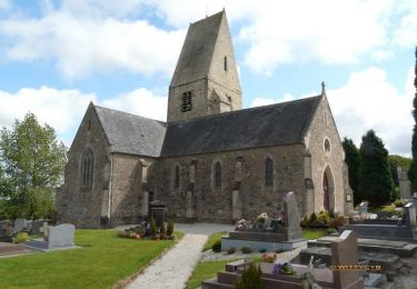
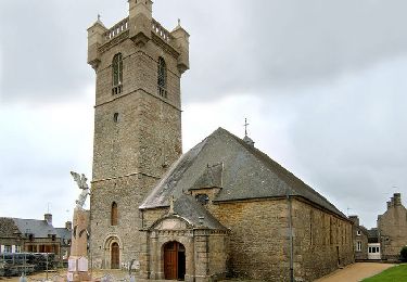
9,7 km | 12,4 km-effort
levast
canuardg
Usuario
Longitud
6,9 km
Altitud máxima
92 m
Desnivel positivo
119 m
Km-Effort
8,5 km
Altitud mínima
27 m
Desnivel negativo
116 m
Boucle
Sí
Fecha de creación :
2019-08-18 14:30:41.813
Última modificación :
2019-08-19 18:40:47.813
1h48
Dificultad : Muy fácil
Aplicación GPS de excursión GRATIS
A propósito
Ruta Senderismo de 6,9 km a descubrir en Normandía, Mancha, Le Vast. Esta ruta ha sido propuesta por canuardg.
Localización
País:
France
Región :
Normandía
Departamento/provincia :
Mancha
Municipio :
Le Vast
Localidad:
Unknown
Salida:(Dec)
Salida:(UTM)
617433 ; 5497874 (30U) N.
Comentarios
Excursiones cerca
Le long de la vallée de la Sairre
Senderismo
Medio
Le Vast,
Normandía,
Mancha,
France
10 km | 12,6 km-effort
2h 40min
Sí
Rando des châtaignes - Teurtheville-Bocage
Bici de montaña
Difícil
Teurthéville-Bocage,
Normandía,
Mancha,
France
30 km | 37 km-effort
2h 30min
Sí
Rando des châtaignes 2013 - Teurthéville Bocage
Bici de montaña
Medio
Teurthéville-Bocage,
Normandía,
Mancha,
France
38 km | 47 km-effort
2h 30min
Sí
Petite balade dans le val de Saire - Théville
Bici de montaña
Medio
Théville,
Normandía,
Mancha,
France
31 km | 37 km-effort
4h 49min
Sí
ronde des villages le Vast/La Pernelle
Senderismo
Difícil
Le Vast,
Normandía,
Mancha,
France
10 km | 13 km-effort
3h 37min
No
Rone Le Vast La Pernelle
Senderismo
Difícil
Le Vast,
Normandía,
Mancha,
France
12,4 km | 15,6 km-effort
3h 32min
No