


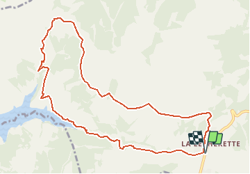

16,7 km | 24 km-effort


Usuario


Aplicación GPS de excursión GRATIS
 SityTrail
IGN / Institutos geográficos
SityTrail World
El mundo es suyo
Ruta Senderismo de 11,1 km a descubrir en Valdia, District de la Riviera-Pays-d’Enhaut, Château-d'Oex. Esta ruta ha sido propuesta por duamerg.
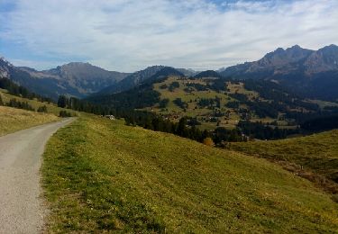
Suivre les indicateurs col de Sonlomont. Malheureusement une route en dure vous y mène. Heureusement qu'il y a de belles vues sur les montagnes, le lac de l'Hongrin et les Dents du Midi que l'on voit de partout!
Au col prendre le chemin qui indique le barrage en 50 minutes. Chemin raide et boueux qui vous ramène près du lac. Encore un chemin en dur avant de bifurquer sur un joli chemin qui longe une partie du lac artificiel
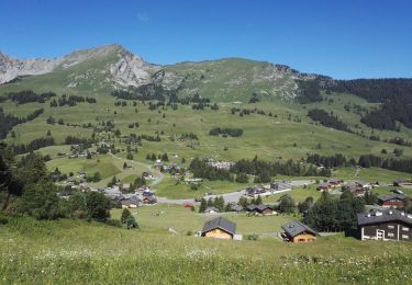
Au bout du lac on retrouve une route en dur jusqu'à notre arrivée à la Lécherette.
Dommage que cette marche comprenne autant de goudron, pas ce qui est le plus agréable.
A part la boue à la descente, pas de difficultés particulières.


Senderismo
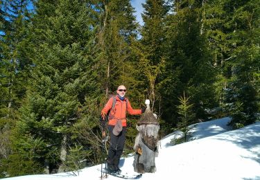
Esquí de fondo

Senderismo
Senderismo
Senderismo

Deportes de invierno
Senderismo
Senderismo
Senderismo