


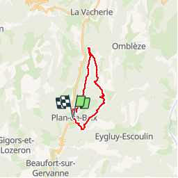

11 km | 18,1 km-effort


Usuario


Aplicación GPS de excursión GRATIS
 SityTrail
IGN / Institutos geográficos
SityTrail World
El mundo es suyo
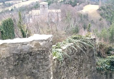
Ruta Senderismo de 18,4 km a descubrir en Auvergne-Rhône-Alpes, Drôme, Plan-de-Baix. Esta ruta ha sido propuesta por guyzinz.
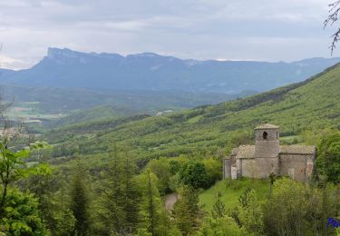
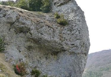
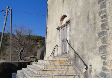
Attention porter des chaussettes de rechange il faut traverser plusieurs fois la gervane sinon super rando moyenne
Senderismo
Senderismo

Senderismo

Senderismo

Senderismo
Senderismo
Senderismo
Senderismo
Senderismo