


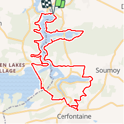

21 km | 26 km-effort


RCM ... l'esprit rando à vélo et à pied !


Aplicación GPS de excursión GRATIS
 SityTrail
IGN / Institutos geográficos
SityTrail World
El mundo es suyo
Ruta A pie de 25 km a descubrir en Valonia, Namur, Cerfontaine. Esta ruta ha sido propuesta por Randonneur Club Marcquois.
Grande visite des Lacs d'Heure et des environs avec déjeuner au café de l'Eau d'Heure à Cerfontaine puis retour avec un petit passage à la Brasserie de Silenrieux avant de retrouver les véhicules ...
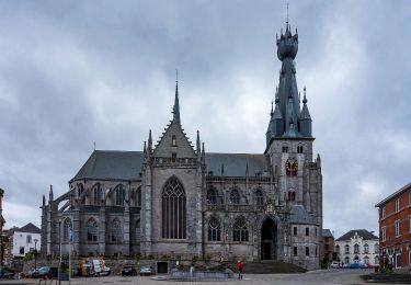
Senderismo

Senderismo

Senderismo

Senderismo
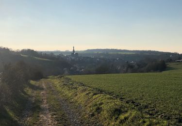
Senderismo
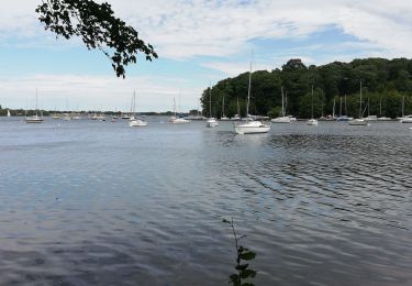
Senderismo

Senderismo

Senderismo
Senderismo