


9,9 km | 11,7 km-effort

Usuario


Aplicación GPS de excursión GRATIS
 SityTrail
IGN / Institutos geográficos
SityTrail World
El mundo es suyo
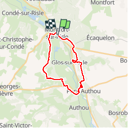
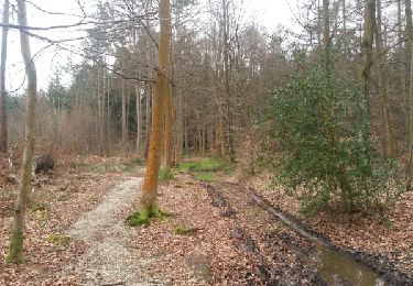
Ruta Senderismo de 21 km a descubrir en Normandía, Eure, Montfort-sur-Risle. Esta ruta ha sido propuesta por MichelRando7656.
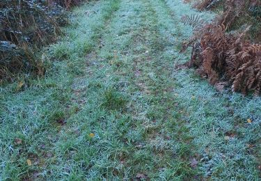
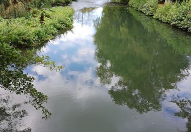
Beau parcours de 20 km. Nombreux sentiers forestiers et campagnards. Très peu de route. Bel endroit au bord de la Risle pour le pique-nique du midi.
Parking près la poste.


Senderismo
Senderismo
Senderismo
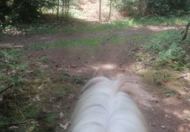
Paseo ecuestre
Paseo ecuestre

Senderismo
Senderismo

Senderismo
Senderismo