


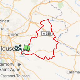

57 km | 69 km-effort


Usuario


Aplicación GPS de excursión GRATIS
 SityTrail
IGN / Institutos geográficos
SityTrail World
El mundo es suyo
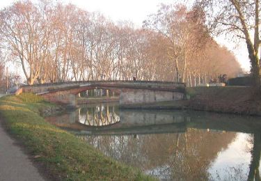
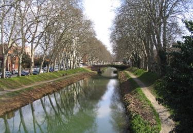
Ruta Bicicleta híbrida de 59 km a descubrir en Occitania, Alto-Garona, Quint-Fonsegrives. Esta ruta ha sido propuesta por mipi31.
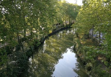
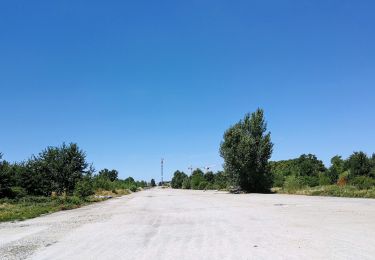
Après un gros orage, j'ai préféré rester sur le macadam pour cette randonnée. Pas de difficulté particulière en dehors de la distance et du dénivelé conséquent. Très peu de roulage sauf pour les dernier kilomètres à partir de Saint Pierre de Lages.
Bonne route.
Bicicleta híbrida
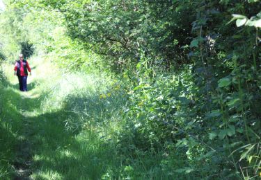
Senderismo

Bicicleta híbrida
Senderismo
Senderismo
Senderismo
Senderismo

Carrera
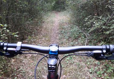
Bici de montaña