


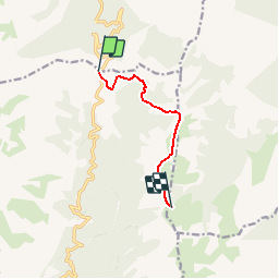

6,1 km | 9,1 km-effort


Usuario


Aplicación GPS de excursión GRATIS
 SityTrail
IGN / Institutos geográficos
SityTrail World
El mundo es suyo
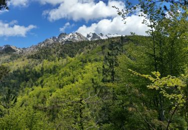
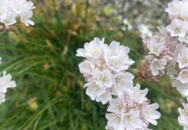
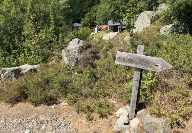
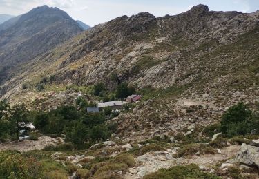
Ruta Senderismo de 6,3 km a descubrir en Córcega, Alta Córcega, Ghisoni. Esta ruta ha sido propuesta por Orsu Vincenti.
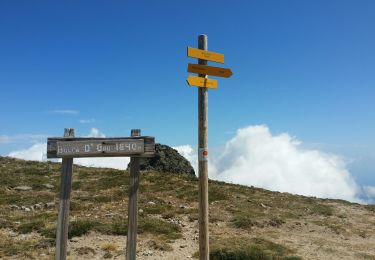
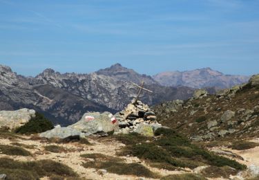
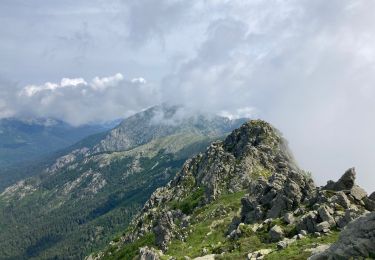
depart au col verde au direction du refuge de prati (gr20) et punta capella le retour se fait par le meme chemin
Senderismo
Senderismo
Senderismo
Senderismo
Senderismo

Vía ferrata
Senderismo
Senderismo
Senderismo