


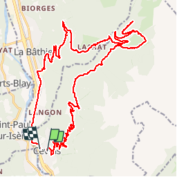

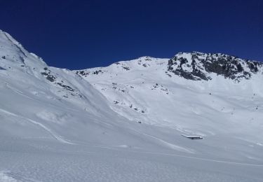
14,1 km | 31 km-effort


Usuario


Aplicación GPS de excursión GRATIS
 SityTrail
IGN / Institutos geográficos
SityTrail World
El mundo es suyo
Ruta Bici eléctrica de 30 km a descubrir en Auvergne-Rhône-Alpes, Saboya, Cevins. Esta ruta ha sido propuesta por franquen.
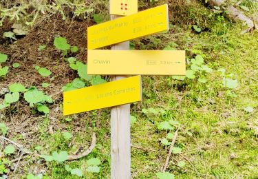
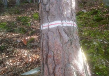
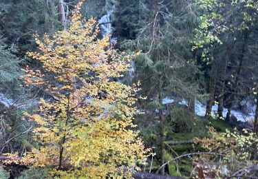
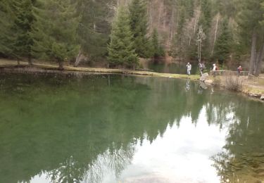
Rando sympa dans la forêt sur des routes et chemins déserts.
à Menetant avons pris le chemin menant aux lacs des tempêtes et aux anciennes ardoiseries mais pas assez de batterie pour aller les visiter!
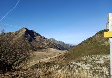
Senderismo
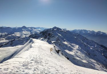
Esquí de fondo
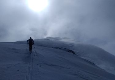
Esquí de fondo
Esquí de fondo
Senderismo
Senderismo
Senderismo
Senderismo
Senderismo