


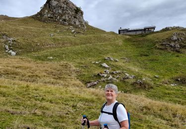
9,9 km | 18,2 km-effort

Usuario


Aplicación GPS de excursión GRATIS
 SityTrail
IGN / Institutos geográficos
SityTrail World
El mundo es suyo
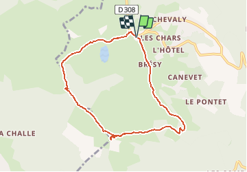
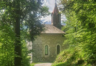
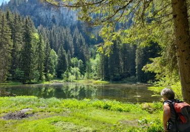
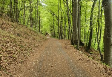
Ruta Senderismo de 8 km a descubrir en Auvergne-Rhône-Alpes, Alta Saboya, Taninges. Esta ruta ha sido propuesta por tracegps.
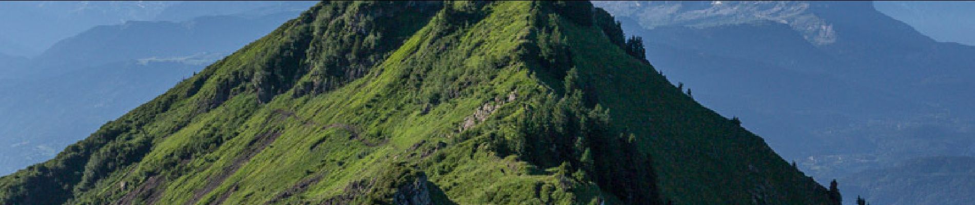
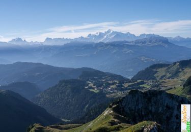
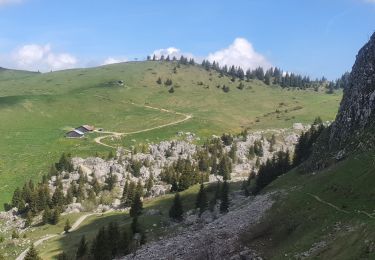
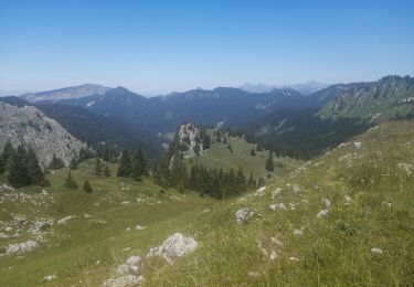
La Pointe ou Pic de Marcelly qui domine le Praz-de-Lys offre une vue imprenable sur les massifs du Mont Blanc, des Aravis et du Chablais. La randonnée courte, soutenue et aérienne, commence aux Molliettes, passe par le Lac de Roy, pour rejoindre la crête entre la Pointe de Perret et la Frête de Penaille. Au fil de l'arête, le sentier traverse la Frête de Penaille, la Pointe de la Couennasse pour traverser sous le Pic de Marcelly et gravir son versant Est, escarpé. La descente emprunte l'arête Est pour descendre vers le Grand Planey trouver un sentier qui ramène vers Brésy et bientôt le point de départ. Description complète sur sentier-nature.com : La Pointe de Marcelly 1999 m, le Praz-de-Lys Avertissement [Exposition 2/3]. Certains passages de cet itinéraire de montagne sont escarpés et/ou exposés, il est déconseillé aux enfants non accompagnés et aux personnes sujettes au vertige. Pour votre sécurité, nous vous invitons à respecter les règles suivantes : être bien chaussé, ne pas s'engager par mauvais temps, ne pas s'écarter de l'itinéraire ni des sentiers.

Senderismo
Senderismo
Senderismo
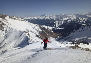
Esquí de fondo

Senderismo
Senderismo
Senderismo
Senderismo
Senderismo
bon aplis les cartes sont tres bien. precise et pratique