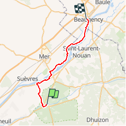

8,2 km | 8,9 km-effort


Usuario


Aplicación GPS de excursión GRATIS
 SityTrail
IGN / Institutos geográficos
SityTrail World
El mundo es suyo
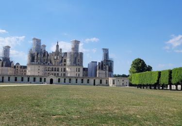
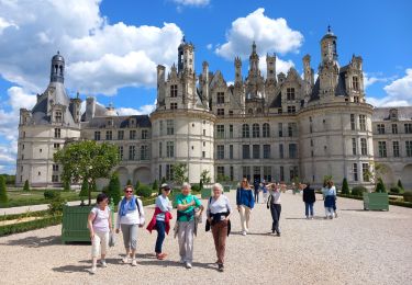
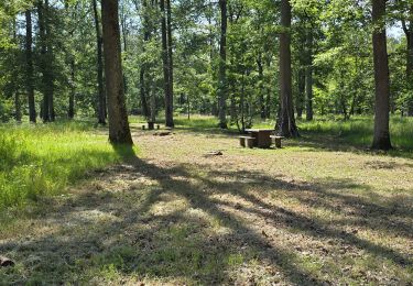
Ruta Bicicleta de 28 km a descubrir en Centro, Loir y Cher, Chambord. Esta ruta ha sido propuesta por tracegps.
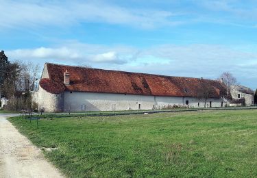
Une jolie balade familiale où se mêlent Loire Sauvage et villages pittoresques. Puis c'est la Sologne et son massif forestier qui nous enveloppe. Un parcours apaisant effectué en majorité sur pistes cyclables. A faire absolument!


A pie
A pie
Senderismo
Senderismo

A pie

Bici de montaña

Senderismo

Senderismo