


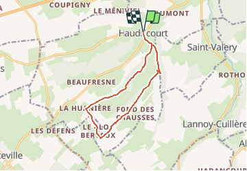

8,8 km | 10,6 km-effort


Usuario


Aplicación GPS de excursión GRATIS
 SityTrail
IGN / Institutos geográficos
SityTrail World
El mundo es suyo
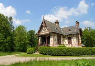
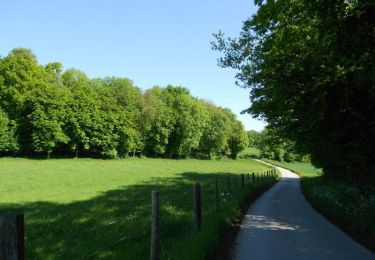
Ruta Senderismo de 10,6 km a descubrir en Normandía, Sena-Marítimo, Haudricourt. Esta ruta ha sido propuesta por tracegps.
Circuit proposé par l'Office de Tourisme d'Aumale. Au départ de l'église d'Haudricourt, direction vers le hameau de St Ouen, prendre la direction du bois de la Vergne. Faire 2 épingles à cheveux pour prendre la direction de la ferme Frévent. Suivre le circuit jusqu'au 1er carrefour que l'on continue tout droit. Tourner à droite pour passer devant la ferme du Clos Bertaux, tourner à droite avant la Huanière en direction du bois d'Haudricourt. Une fois à Haudricourt-au-Bois, rejoindre St Ouen et revenir par le même chemin au départ.
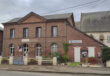
 - Haudricourt - Photo 1")
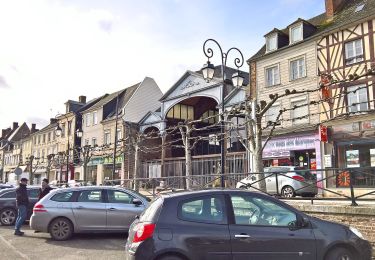
 - Haudricourt - Photo 2")
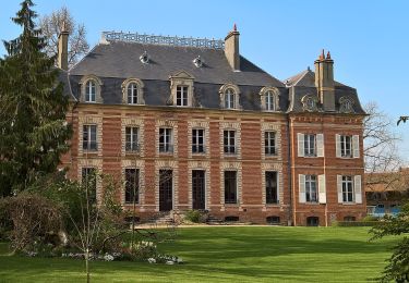
 - Haudricourt - Photo 3")
 - Haudricourt - Photo 4")
 - Haudricourt - Photo 5")
 - Haudricourt - Photo 6")
A pie
A pie
A pie
Caballo

Bici de montaña

Senderismo

Caballo
Bici de montaña

Senderismo