


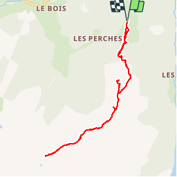

8,2 km | 17,9 km-effort

Usuario


Aplicación GPS de excursión GRATIS
 SityTrail
IGN / Institutos geográficos
SityTrail World
El mundo es suyo
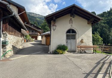
Ruta Senderismo de 8,9 km a descubrir en Auvergne-Rhône-Alpes, Saboya, Beaufort. Esta ruta ha sido propuesta por marchev.
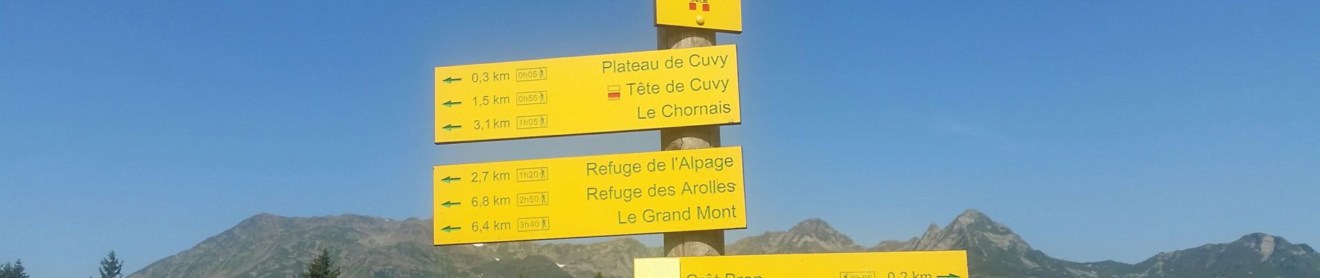
en prenant télé siege aller en direction de la tête de Cuvy puis direction lac tournant en aller retour. Le chemin pour le lac tournant est sympathique.
Attention dernier télé siège à 16H30


Senderismo

Senderismo
Senderismo

Esquí de fondo

Esquí de fondo

Senderismo

Senderismo
Senderismo
Senderismo