


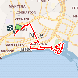


7,9 km | 10,3 km-effort

Usuario


Aplicación GPS de excursión GRATIS
 SityTrail
IGN / Institutos geográficos
SityTrail World
El mundo es suyo
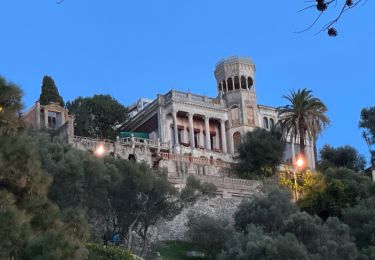
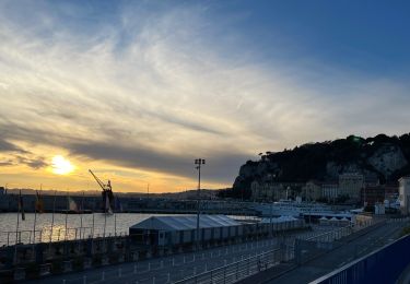
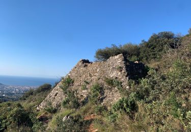
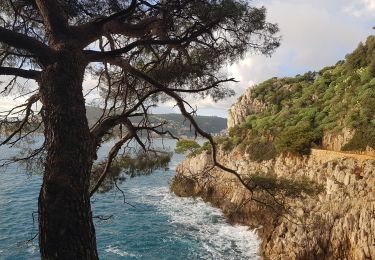
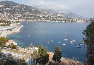
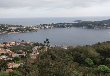
Ruta A pie de 10,7 km a descubrir en Provenza-Alpes-Costa Azul, Alpes Marítimos, Niza. Esta ruta ha sido propuesta por Axelloceane.
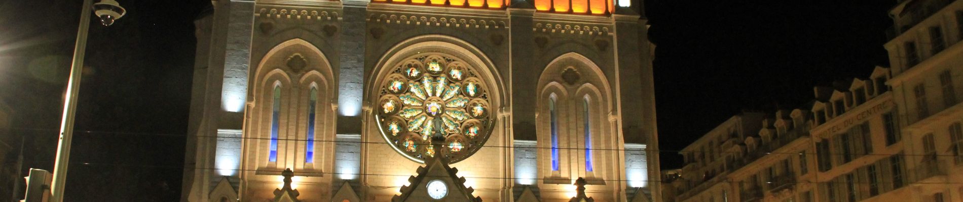
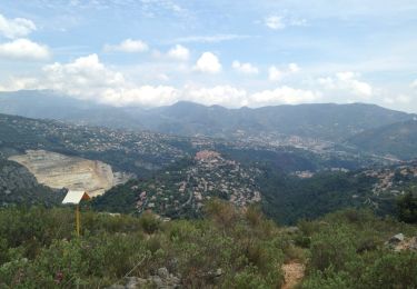
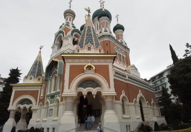
Visite de la vielle ville de Nice ,du parc du Mont Baron avec vue sur la baie des anges et du port et ballade sur la premonade des anglais.


Senderismo
Senderismo
Senderismo
Senderismo
Senderismo
Senderismo
Senderismo
Senderismo
Senderismo