


9,3 km | 12,2 km-effort


Usuario


Aplicación GPS de excursión GRATIS
 SityTrail
IGN / Institutos geográficos
SityTrail World
El mundo es suyo
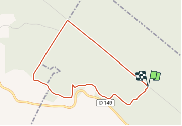
Ruta Senderismo de 4 km a descubrir en Normandía, Sena-Marítimo, Dancourt. Esta ruta ha sido propuesta por tracegps.
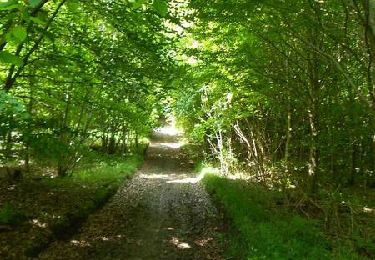
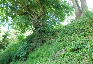
Circuit proposé par l'Office de Tourisme de Blangy sur Bresle. Du site de « l'arbre de la bonne entente » en forêt d'Eu, qui sont 2 arbres (un chêne et un hêtre) plantés en 1843 par la reine d'Angleterre et le roi Louis-Philippe pour sceller l'Entente Cordiale, prendre le chemin derrière ceux-ci. Le suivre tous le long, jusqu'à un terrain en pente aménagé par des marches en terre. Arrivé en bas, prendre le chemin à droite (ATTENTION : ne pas suivre la direction opposée indiqué par le beau poteau avec le cercle jaune numéroté 1, servant pour le circuit de Grandcourt) vous menant au point de vue. Prendre ensuite à droite la route des Saulx jusqu'au poteau du Pére André, de nouveau à droite par la route tournante jusqu'au point de départ. Suivre tout au long du circuit le balisage jaune sur les panneaux en bois. Retrouvez le plan de l'ensemble des circuits sur le site de l'Office de Tourisme de Blangy sur Bresle.
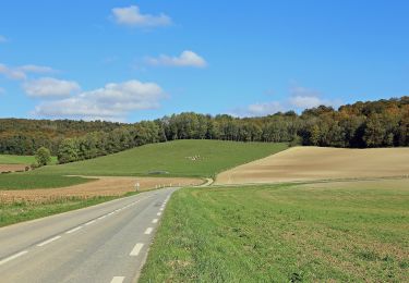
 - Dancourt - Photo 1")
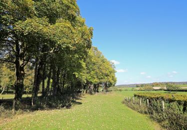
 - Dancourt - Photo 2")
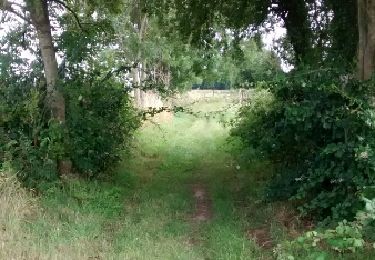
 - Dancourt - Photo 3")
 - Dancourt - Photo 4")
 - Dancourt - Photo 5")
A pie
A pie

Senderismo

Senderismo
Senderismo

Caballo

Bici de montaña
Senderismo
Caballo