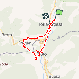


21 km | 0 m-effort

Usuario GUIDE


Aplicación GPS de excursión GRATIS
 SityTrail
IGN / Institutos geográficos
SityTrail World
El mundo es suyo
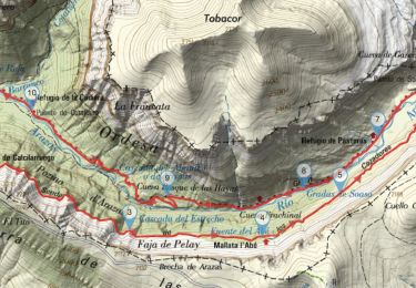
Ruta Senderismo de 13,8 km a descubrir en Aragón, Huesca, Torla-Ordesa. Esta ruta ha sido propuesta por rvapeldo.
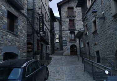
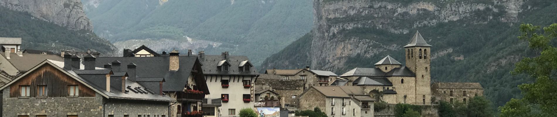
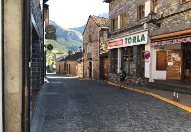
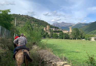
Balade à la découverte de Broto et des environs, au départ de Torla. Ici nous partons d’un camping, mais il y a moyen de partir du grand parking d’où partent les bus vers Ordesa.
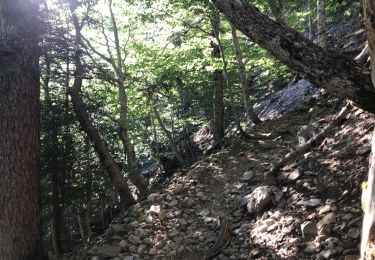
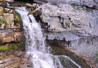
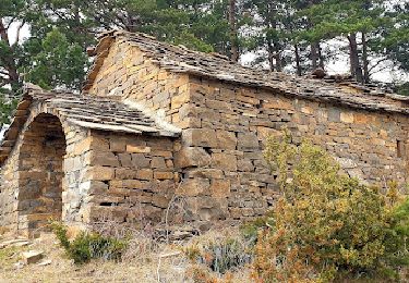
La première partie suit un chemin qui longe le rio Ara, pour arriver rapidement à Broto, un village très différent de Torla, moins ramassé, car la vallée est ici large et plate. Après un petit tour dans ce village, il est impossible de ne pas passer voir la zone de via Ferrata sur les parois rocheuses de la cascade de Sorrosal, à l’ouest. Puis un magnifique chemin muletier mène au village anciennement fortifié (visiblement) d’Oto (à visiter), avant de grimper sur un chemin qui mène à un autre charmant village, Fragen. Très beau sentier pour revenir sur Torla, en haut de la route, le long d’un muret.


22 fotos en total. Haga clic en una foto para mostrarlas todas en la galería.
Senderismo
Senderismo
Senderismo
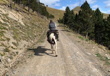
Paseo ecuestre
Senderismo
Bici de montaña
A pie
Paseo ecuestre