


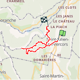

16,5 km | 34 km-effort


Usuario


Aplicación GPS de excursión GRATIS
 SityTrail
IGN / Institutos geográficos
SityTrail World
El mundo es suyo
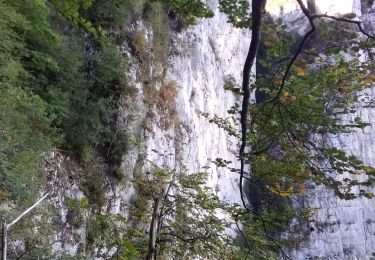
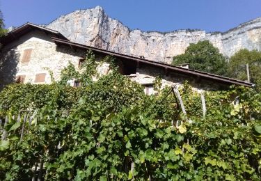
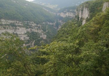
Ruta Senderismo de 11,5 km a descubrir en Auvergne-Rhône-Alpes, Drôme, Saint-Julien-en-Vercors. Esta ruta ha sido propuesta por junique.
2km200
Senderismo
Senderismo

A pie
Senderismo
Senderismo
Senderismo
Otra actividad

Senderismo
Senderismo