


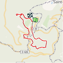


4,9 km | 6,3 km-effort

Usuario


Aplicación GPS de excursión GRATIS
 SityTrail
IGN / Institutos geográficos
SityTrail World
El mundo es suyo
Ruta Senderismo de 7,2 km a descubrir en Gran Este, Bajo-Rin, Ottrott. Esta ruta ha sido propuesta por vingilles.
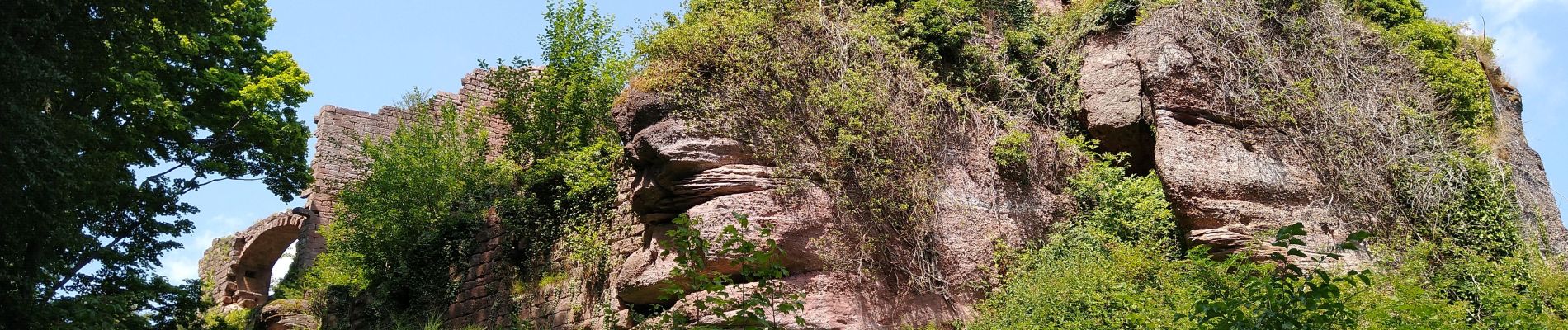
Rocher du Panorama ... Maennelstein ... Puit de la Bloss ... Schafstein ... Wachstein ... Stèle de la Bloss ... Grotte des Druides ... Tombes mérovingiennes ... Rocher St Nicolas ... Ruines de Dreistein ... Porte Romaine.


Senderismo

Senderismo

Senderismo

Senderismo

Senderismo

Senderismo

Bici de montaña

Bici de montaña

Senderismo