


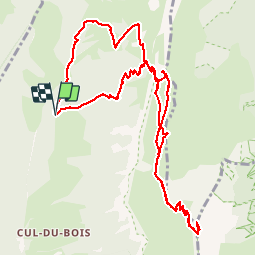

13,1 km | 24 km-effort


Usuario


Aplicación GPS de excursión GRATIS
 SityTrail
IGN / Institutos geográficos
SityTrail World
El mundo es suyo
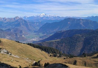
Ruta Senderismo de 13 km a descubrir en Auvergne-Rhône-Alpes, Saboya, Doucy-en-Bauges. Esta ruta ha sido propuesta por margotte.
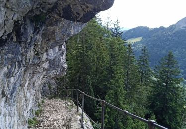
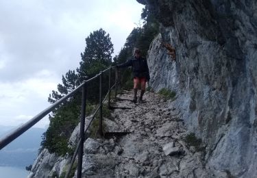
un 2000 accessible à beaucoup. Pour la dent des portes, un passage exposé de quelques mètres..

Senderismo

Senderismo
Senderismo
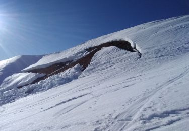
Esquí de fondo

Esquí de fondo

Senderismo
Senderismo

Senderismo
Senderismo