


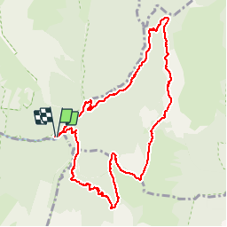

13,1 km | 24 km-effort


Usuario


Aplicación GPS de excursión GRATIS
 SityTrail
IGN / Institutos geográficos
SityTrail World
El mundo es suyo
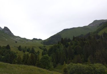
Ruta Senderismo de 10,7 km a descubrir en Auvergne-Rhône-Alpes, Saboya, Jarsy. Esta ruta ha sido propuesta por margotte.
belle montée raide avec une flore exceptionnelle et la rencontre des sangliers et des mouflons..Végétation haute, ne pas craindre d'être mouillé jusqu'au cuisse.

Senderismo
Senderismo

Senderismo

Senderismo

Paseo ecuestre

Senderismo

Senderismo

Senderismo
Esquí de fondo