


14 km | 27 km-effort

Usuario


Aplicación GPS de excursión GRATIS
 SityTrail
IGN / Institutos geográficos
SityTrail World
El mundo es suyo
Ruta Senderismo de 2,5 km a descubrir en Auvergne-Rhône-Alpes, Saboya, Bonneval-sur-Arc. Esta ruta ha sido propuesta por skippy6231.
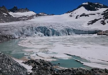
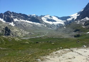
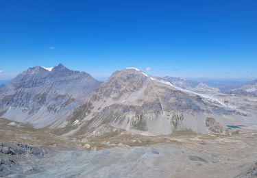
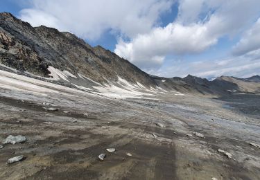
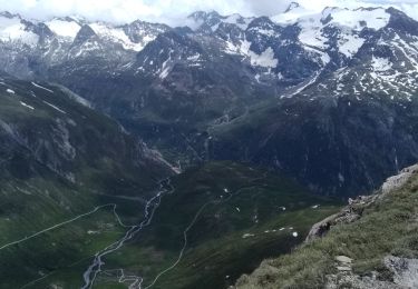
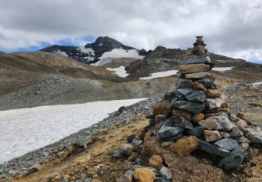
Après Bonneval sur Arc, prendre la route du col de l'Iseran et se garer au parking du Pont de la Neige (2500m environ). La première montée est assez raide et débouche sur un grand vallon qui certaines années reste complètement enneigé. après plus d'une heure de montée facile, on arrive sur un petit col avant d'entamer la montée finale au col des fours (2967 m). On peut facilement monter jusqu'à la pointe des fours (3046 m) pour admirer un paysage grandiose à 360° et un lac en contrebas. Un sommet à 3000 m accessible à tous ! Avec un peu de chance, on peut apercevoir quelques vautours en quête de nourriture.


Senderismo
Otra actividad
Senderismo
![Excursión Senderismo Bonneval-sur-Arc - Bonneval-sur-Arc / Bessans [neige] - J4 - Photo](https://media.geolcdn.com/t/375/260/28d35c22-b143-4338-8bb6-93842cf637ce.jpg&format=jpg&maxdim=2)
Senderismo
Senderismo
Senderismo
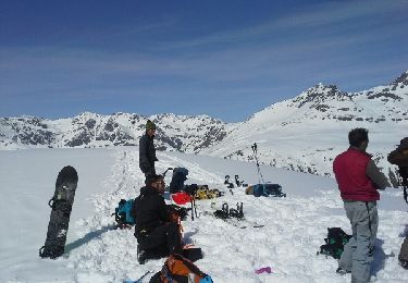
Esquí de fondo
Esquí de fondo
Senderismo