


20 km | 23 km-effort


Usuario


Aplicación GPS de excursión GRATIS
 SityTrail
IGN / Institutos geográficos
SityTrail World
El mundo es suyo
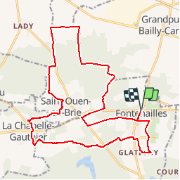
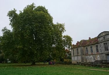
Ruta Senderismo de 23 km a descubrir en Isla de Francia, Sena y Marne, Fontenailles. Esta ruta ha sido propuesta por pikibangi.
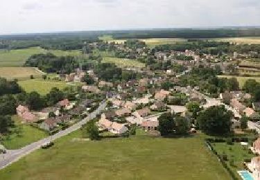
Découverte de la Brie Nangissienne
Découverte de Saint Ouen en Brie, la Chapelle-Gauthier et Fontenailles.
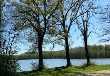
Randonnée sans difficulté
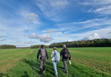
Senderismo
Senderismo

Senderismo

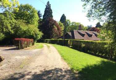
Senderismo
Senderismo
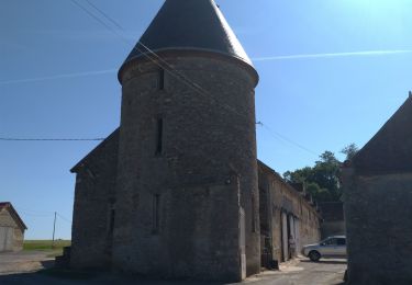
Senderismo
Senderismo
Senderismo
Senderismo