


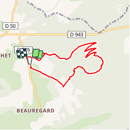

10,7 km | 13,1 km-effort


Usuario

Aplicación GPS de excursión GRATIS
 SityTrail
IGN / Institutos geográficos
SityTrail World
El mundo es suyo
Ruta Senderismo de 7,4 km a descubrir en Auvergne-Rhône-Alpes, Puy-de-Dôme, Saint-Ours. Esta ruta ha sido propuesta por 1stef1.
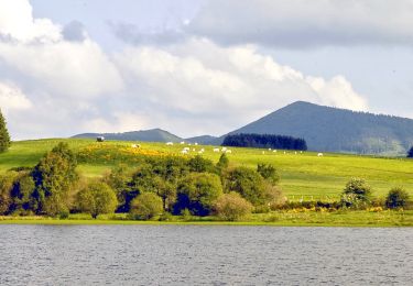
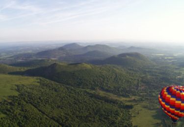
Belle balade : ascension en forêt et descente par petit sentier avec de belles vues.
Accés : Parking tout neuf

Senderismo
Senderismo

Marcha nórdica

Senderismo
Senderismo
A pie
A pie
Senderismo

Senderismo