


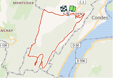


12 km | 15,6 km-effort


Usuario


Aplicación GPS de excursión GRATIS
 SityTrail
IGN / Institutos geográficos
SityTrail World
El mundo es suyo
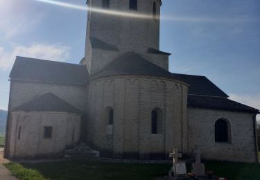
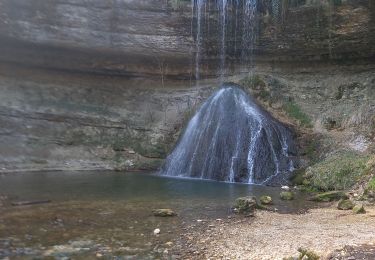
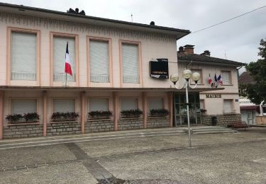
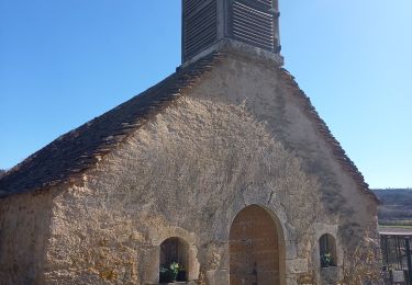
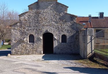
Ruta Senderismo de 12,5 km a descubrir en Borgoña-Franco Condado, Jura, Vescles. Esta ruta ha sido propuesta por albert39.
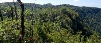
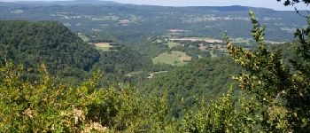
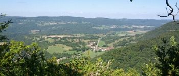
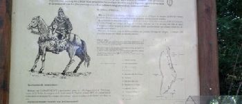
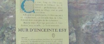
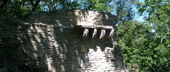
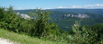
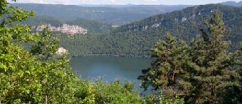
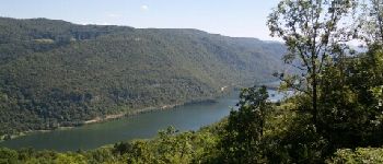
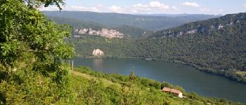
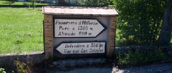
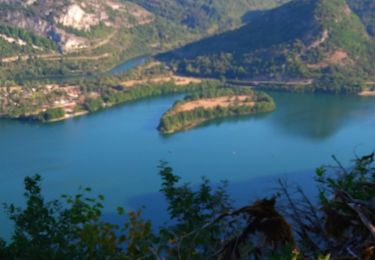
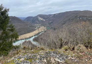
Superbe belvédère au-dessus des vallées de l'Ain et de la Valouse, la pic d'Oliferne est aussi un lieu chargé d’histoire et de légendes fantastiques.


Senderismo
Senderismo
Senderismo
Senderismo
A pie
Senderismo
Senderismo
Senderismo
Senderismo