


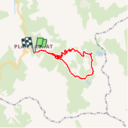

11,2 km | 22 km-effort

Usuario


Aplicación GPS de excursión GRATIS
 SityTrail
IGN / Institutos geográficos
SityTrail World
El mundo es suyo
Ruta Senderismo de 12,1 km a descubrir en Auvergne-Rhône-Alpes, Saboya, Valloire. Esta ruta ha sido propuesta por Thomasdanielle.
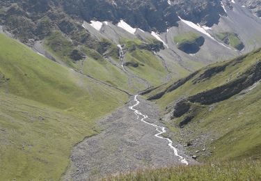
D/A : Parking le "Le Plan Lachat" après le Col du Galibier
(proche du torrent et du pont)
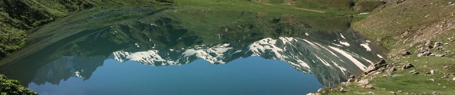
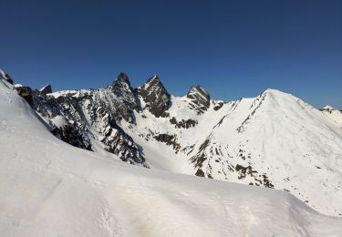
En montant le matin une vue extraordinaire sur le des Motets avec le reflet de la montagne
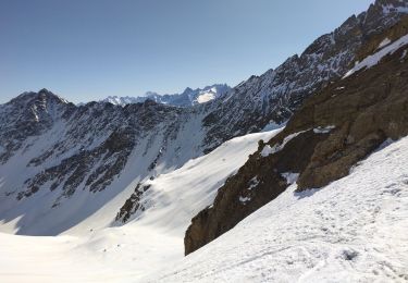
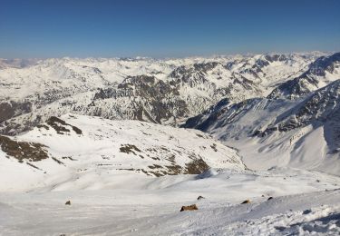
Suivre le sentier jusqu'aux 2 lacs : Grand Ban et Rond
(à cette période il faut passer sur les névés avant d'arriver aux lacs)
 15-06-19 - Photo 1")
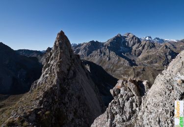
 15-06-19 - Photo 2")
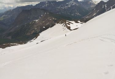
 15-06-19 - Photo 3")
Senderismo

Senderismo
Esquí de fondo

Senderismo

Senderismo
Esquí de fondo
Esquí de fondo
Esquí de fondo
Senderismo