


15,8 km | 31 km-effort

Usuario


Aplicación GPS de excursión GRATIS
 SityTrail
IGN / Institutos geográficos
SityTrail World
El mundo es suyo
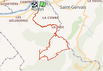
Ruta Senderismo de 12,4 km a descubrir en Auvergne-Rhône-Alpes, Isère, Rovon. Esta ruta ha sido propuesta por patjobou.
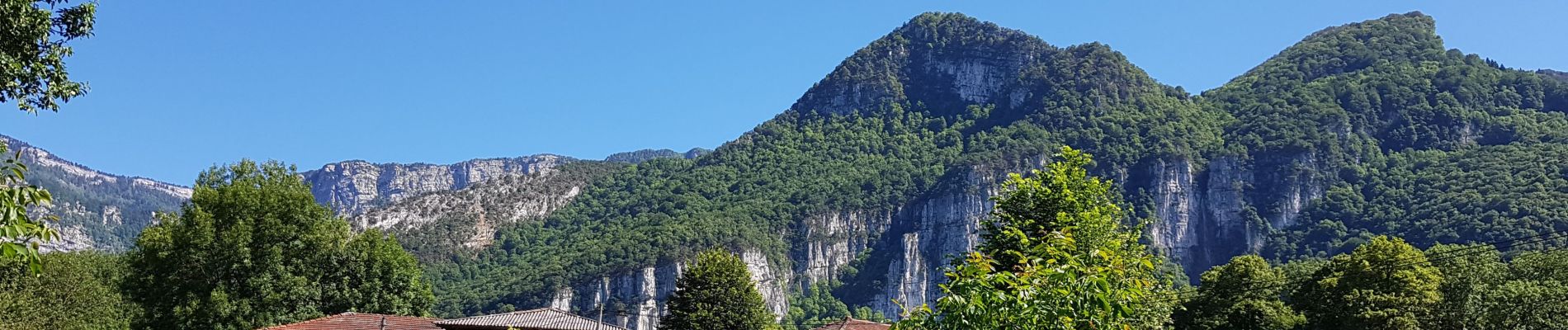
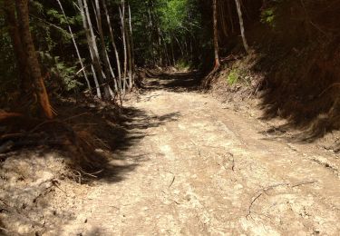
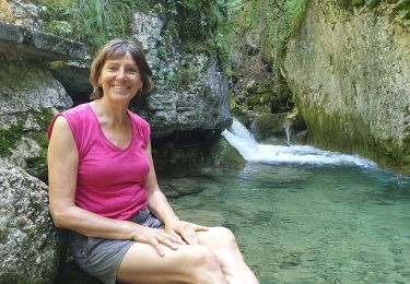
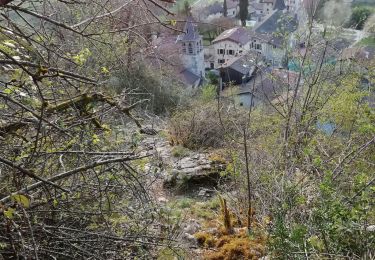
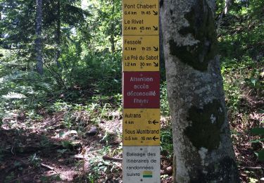
Belle boucle dans les forets moussues du Nord Vercors, avec retour par les gorges du Gorgonnet. Montée 'soutenue' par le Saut de La vache, et la combe des Rochers des Enversins, par un ancien sentier encore assez visible; des passages glissants, ou en éboulis. Le départ de ce sentier est matérialisé par un cairn sur la droite en montant, peu après l'épingle à cheveux à l'entrée des gorges. Retour sans difficultés, par une ancienne piste, et les gorges du Gorgonnet. A faire par temps sec. Pour bon marcheurs.


Senderismo
Senderismo
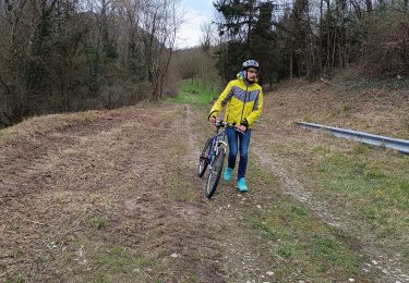
Bici de montaña
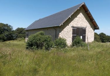
Senderismo
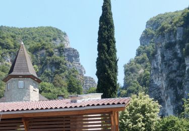
Senderismo
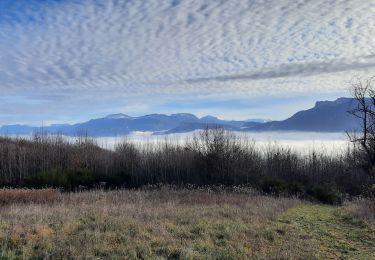
Senderismo
Senderismo
Senderismo
Senderismo