


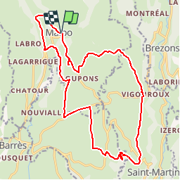


22 km | 32 km-effort

Usuario


Aplicación GPS de excursión GRATIS
 SityTrail
IGN / Institutos geográficos
SityTrail World
El mundo es suyo
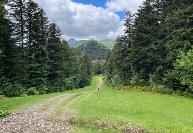
Ruta Bici de montaña de 22 km a descubrir en Auvergne-Rhône-Alpes, Cantal, Malbo. Esta ruta ha sido propuesta por macleon.
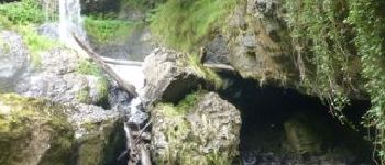
Circuit balisé au départ de Malbo ( petite extension Enduro entre le départ et le gué), Decente vers la cascade en option


Senderismo

Senderismo
Senderismo

Senderismo
Senderismo
Senderismo
Senderismo


sport
sport