


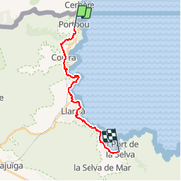

24 km | 33 km-effort


Usuario


Aplicación GPS de excursión GRATIS
 SityTrail
IGN / Institutos geográficos
SityTrail World
El mundo es suyo
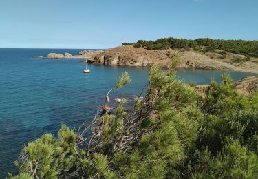
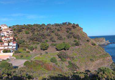
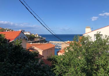
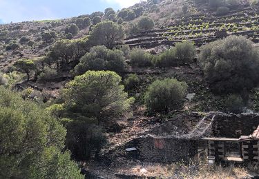
Ruta Senderismo de 18,6 km a descubrir en Cataluña, Gerona, Portbou. Esta ruta ha sido propuesta por nanard223.
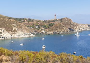
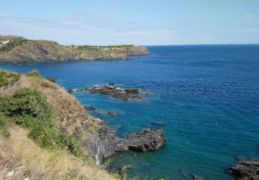
Très belle randonnée. Montée au départ de Portbou un peu raide puis sentier en balcon puis descente sur colera et suivi de la cote.
Senderismo
Senderismo
Senderismo
Senderismo
Senderismo

Senderismo
Senderismo
Senderismo