


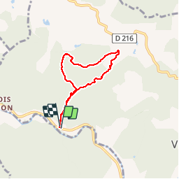

15,2 km | 22 km-effort


Usuario


Aplicación GPS de excursión GRATIS
 SityTrail
IGN / Institutos geográficos
SityTrail World
El mundo es suyo
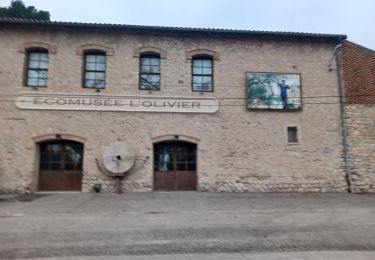
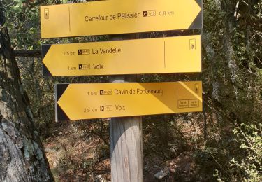
Ruta Senderismo de 5,7 km a descubrir en Provenza-Alpes-Costa Azul, Alpes de Alta Provenza, Villeneuve. Esta ruta ha sido propuesta por liocol.
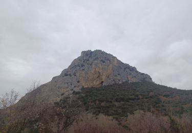
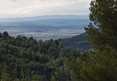
Se garer à droite, un peu avant Saint Maime. Boucle que l'on peut faire l'été, nous sommes souvent à l'ombre dans la forêt. Au départ et au retour, il y a 5 passages du petit ruisseau qui est souvent à sec.
Senderismo
Senderismo
A pie

Bici de montaña

Senderismo
Senderismo
Senderismo
Ruta
Senderismo