


38 km | 47 km-effort


Usuario


Aplicación GPS de excursión GRATIS
 SityTrail
IGN / Institutos geográficos
SityTrail World
El mundo es suyo
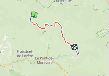
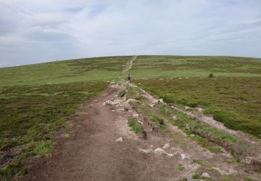
Ruta Senderismo de 17,4 km a descubrir en Occitania, Lozère, Pont de Montvert - Sud Mont Lozère. Esta ruta ha sido propuesta por peterschelfaut.
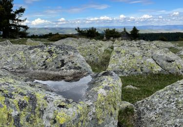
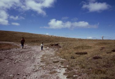
Belle étape relaxe jusqu'un point superbe pour faire un bivouac: 'le pont du Tarn'

Bici de montaña

Senderismo

Senderismo

Senderismo
Bici eléctrica
A pie
Senderismo
Senderismo
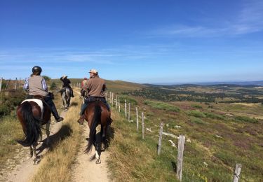
Caballo