


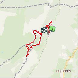


14,4 km | 27 km-effort

Usuario


Aplicación GPS de excursión GRATIS
 SityTrail
IGN / Institutos geográficos
SityTrail World
El mundo es suyo
Ruta Senderismo de 10,4 km a descubrir en Auvergne-Rhône-Alpes, Isère, Sainte-Marie-du-Mont. Esta ruta ha sido propuesta por patjobou.
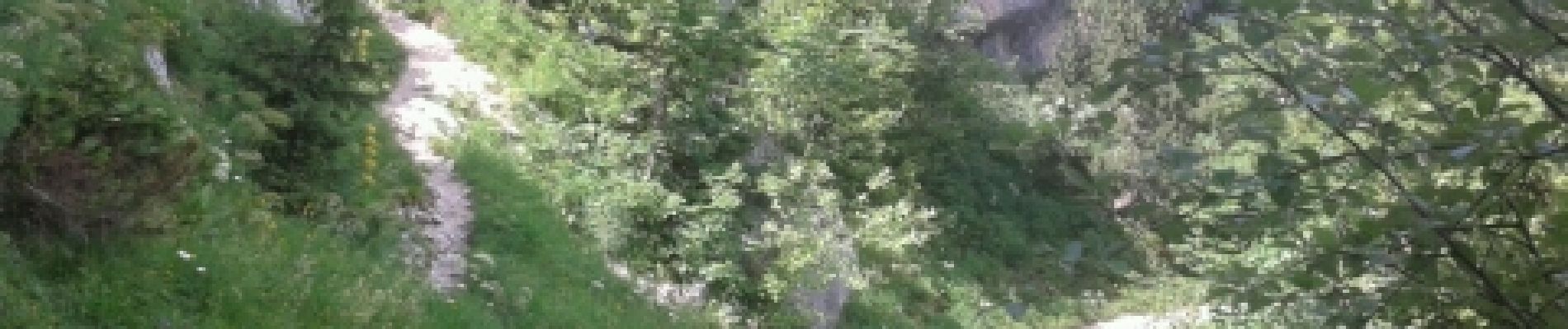
Retour par le col de l'Alpe.
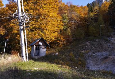
Belle rando. Vulnéraire.
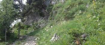
Le pas de la Rousse n’était pas loin.


Senderismo

Senderismo

Senderismo

Senderismo

Raquetas de nieve

Senderismo
Senderismo

Senderismo

Senderismo